Maritimes - Summer 2008
July 5 - 25, 2008
Day 9 - July 13: Fundy, Albert County, Lake Cave, & Flower Pots: Geocaching around Albert County
The underground lake was the first of several earthcaches we did in the area of Albert County NB. The area has lots of interesting geological features. Of course, being in New Brunswick, there were also tons of regular caches and it was hard not to stop every 5 minutes. We limited ourselves mostly to traditionals near earthcaches and a few park and grabs while the kids were napping in the car.
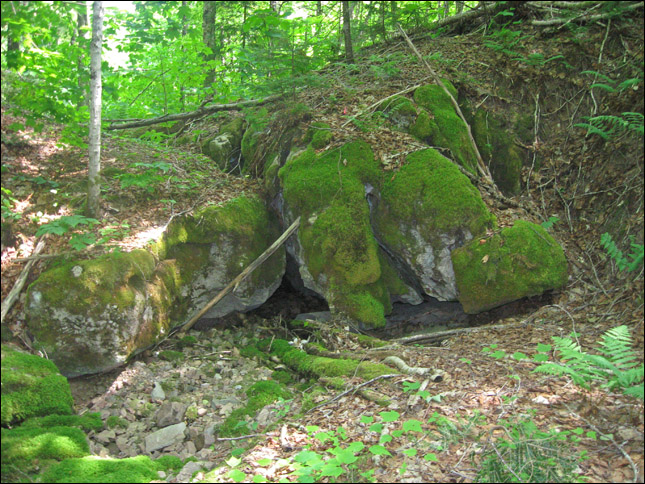
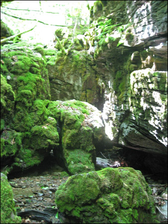
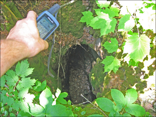
Lost Brook Caves Earthcache:
"The Lost Brook area is found west of Hillsborough near Albert Mines. The Lost Brook area is on the edge of a synclinal basin located on the south side of Wilson Brook. The rock in the area is limestone that is laminated. This lamination is clearly visible in the exposed rocks on the valley cliffs and caves of the area."
The kids fell asleep in the car, so Rubby went and did this one by himself.
Very eerie atmosphere near the caves... especially with all the moss.
Hmmm, after the underground lake, this cave cache seemed pretty lame in comparison.
Thar's Albertite in Them Thar Hills Earthcache:
How cool is it to go to a place after which a mineral is named!? From the cache description:
"Albertite is a type of asphalt found in Albert County, New Brunswick. It is a type of solid hydrocarbon. It is a deep black and lustrous variety, and is less soluble in turpentine than the usual type of asphalt. It is the only solid petroleum source known. It was from Albertite that Kerosene was first created. Albertite is named after the Albert County Mines in New Brunswick, Canada, from whence it was first found. The occurrence at Albert Mines existed as a series of discordant veins which were hosted in the core of an anticlinal closure of a fold. It was initially mistaken for coal. The geologists of the 1800s were at a loss as to describe how this coal apparently came to lie discordant to the strata of the area, as they did not yet understand the nature of the oil shale source rock, nor the fact that the albertite was essentially solidified asphaltum.
The albertine mines supported the community in the 1800's. Great quantities of Albertite were shipped south and used to light the lamps in the streets of Boston during the 1800’s, and the mines provided much profit and employment until the supply was exhausted less than 30 years later. "
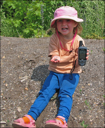
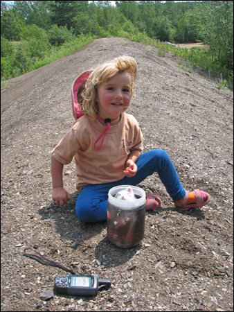
Sammy with the gpsr and the some albertite.
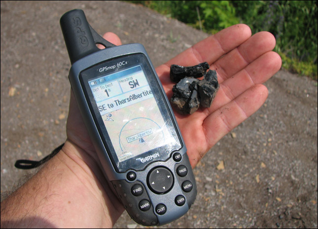
A close-up of some albertite.
A two-fer! (A traditional cache placed right by an earthcache so you get 2 caches for one)
Driving Along...
We were playing a little game of guess where the geocaches are... and pretty much every time there was a cemetery we'd say "There's GOTTA be one in there" and Rubby would check the GPSr... "yup!". We finally stopped to find one (MarkIrene Series #4).

Back in the car, Sam contemplates the possibility of a power nap.
Rubby does a quick earthcache while the kids are napping.
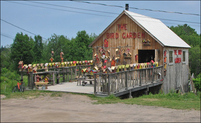
A bird house house.
Artesian Well on Route 910 earthcache:
This was our first cache with an artesian well. We quickly became fans, especially Samantha who now always wants to go and get spring water. I think she could have spent all day there filling up bottles! We also enjoyed the cute 'spring' indicator... we wondered if this was typical of all the springs in the area but this seems to be the only one.
"An artesian well allows water to rise to the surface that has traveled through porous rock from a higher elevation. This pumpless well seems to defy gravity because the pressure that builds up between layers of rock gets relieved when the water finds a path to the open air. For nearly a thousand years, people have drilled wells to drink such cold, filtered water that doesn't need to be hauled up from the depths
An aquifer provides the water source for an artesian well. An aquifer is the layer of permeable rock, like limestone or sandstone, that absorbs water from an inlet path at high elevation such as the top of a mountain. The water source might be fed by snowmelt or precipitation. Porous stone is sandwiched between a top and bottom layer of an impermeable substance like clay soil or shale rock. This keeps the water pressure high, so that when you get to a point below the entryway of the flow, there is enough pressure to bring the water up. Natural springs form in the same way when a gap in the impermeable rock, maybe triggered by an earthquake, allows the water to rise to the surface. "
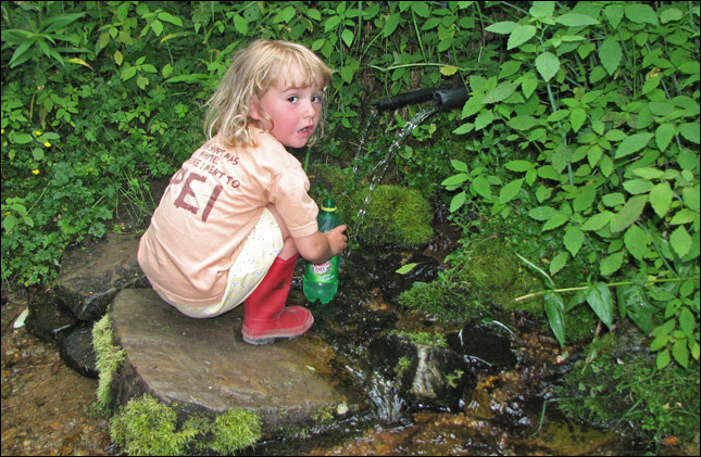
Samantha fills up one of the drinking bottles.
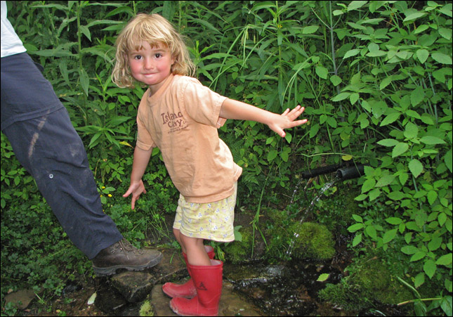
Sam has fun any place where there is water!
Look, it's a 'spring'!
Rubby monkeys around to get the nano-cache attached to the spring... another 2-fer!
[ back ]