Maritimes - Summer 2008
July 5 - 25, 2008
Day 12 - july 16
five islands, South Maitland Tidal Bore, gypsum, hayes cave & renfrew gold
Renfrew & Londonderry
After finally stopping for lunch we headed off to Renfrew. This was a hasty stop for us as the bugs were bad and the kids were hungry and tired.
Interesting to read about Nova Scotia's gold history... Rubby's family had at one time owned some land with an abandoned gold mine in the Rawdon area close by... researching the answers for this cache we came across some of the research being done into the environmental impacts of mercury and arsenic levels around these abandoned mines. Yikes!
The kids fell asleep in the car so Rubby did the last earthcache in Londonderry. Finally it was back to the campsite for our final night at Five Islands.
From the Renfrew Gold earthcache description:
"In 1860 Renfrew, Hants County was a unnamed district of Nine Mile River a few families thought that they could make a living of farming and logging...little did they know in the coming years they would become millionaires. At the Renfrew Gold Rush height over 700 citizens lived and worked in Renfrewand the gold yeilded from the Quartz would be over $20,000,000 in today's dollars.
On April 29, 1862 Renfrew was proclaimed a Gold District. The early prospectors worked near the brook, digging surface gold or cutting deep trenches, often using explosives to blast the shale and quartz. It was not until 1867 that Alfred Nobel invented dynamite, which was used later at Renfrew in blasting. The common method was to find a vein containing gold, frequently near the surface, then follow it by trenching or by blasting down as far as possible.
Processing methods in the early years was very wasteful. At least 30%of the gold was frequently left behind in the tailings. Often when the gold was brought to the surface, water was splashed on it and only if gold showed was the rock sent to the crushers. Theres thousands of ounces of gold still lie hidden in the hundreads of mounds of minestone scattered thoughtout Renfrew."
From the 'Londonderry: Rich in Geological History' Earthcache:
"History of Londonderry
Londonderry (formerly Acadian Mines) was incorporated in the 19th century as an iron ore steel making town, with mining starting in 1849 and was demolished prior to World War II as the scrap metal was used in the war effort.
Geology of Londonderry
Londonderry lies just north of the Cobequid-Chedabucto Fault Zone, which is the most prominent geological feature in Nova Scotia. One feature of this area is the Devonian to late Permian sedimentary rocks. The Devonian sedimentary rocks are characterized by carbonate reef deposits and Permian sediments are deposited as thick wedges along tectonically active margins.The coordinates to this earthcache will take you to a slag dump from the old mine. Slag is a by-product formed in smelting, welding, and other metallurgical and combustion processes from impurities in the metals or ores being treated. Slag consists mostly of mixed oxides of elements such as silicon, sulfur, phosphorus, and aluminum; ash; and products formed in their reactions with furnace linings and fluxing substances such as limestone. During smelting or refining, slag floats on the surface of the molten metal, protecting it from oxidation by the atmosphere and keeping it clean. Slag cools into a coarse aggregate used in certain concretes; it is used as a road-building material, as ballast, and as a source of available phosphate fertilizer. This geological feature looks quite a lot like sedimentary rock."
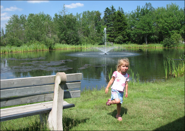
We found a cute little park with a pond (and a cache!) to have some lunch.
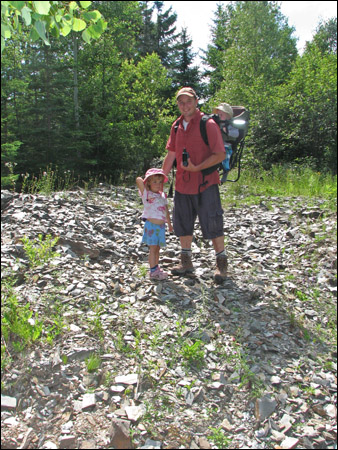
Hmmm, there's supposed to be gold among these rocks?
No signs of an abandoned gold community here.
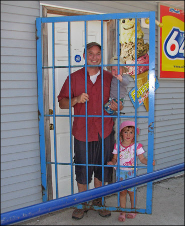
We did however find some scalliwags behind bars.

Mmmm, this is way better than gold any day!


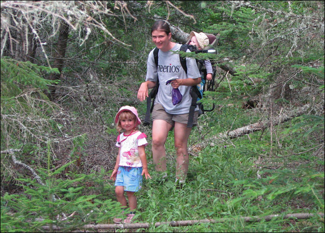
The kids seem to be done for the day.
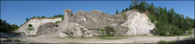
Rubby stops to see the slag at the Londonderry earthcache.
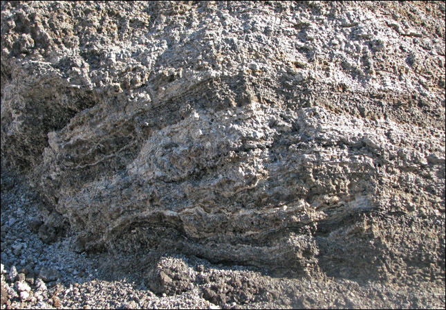
A close-up of the slag.
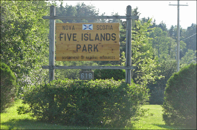
Back at Five Islands provincial campground.
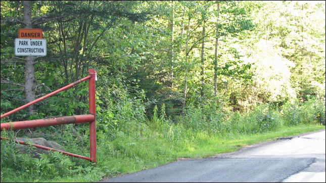
Just what you want to see when you arrive at a Campground
"Danger - Under Construction".
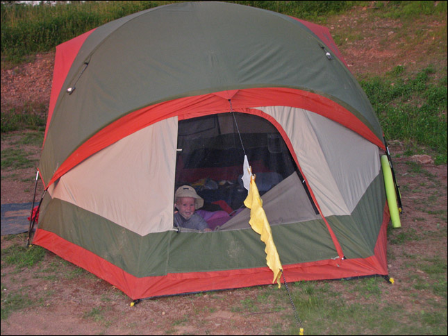
Who's that peeking out of the tent?

Goodnight Christopher!
[ back ]