Maritimes - Summer 2008
July 5 - 25, 2008
Day 12 - july 16
five islands, South Maitland Tidal Bore, gypsum, hayes cave & renfrew gold
South Maitland Tidal Bore
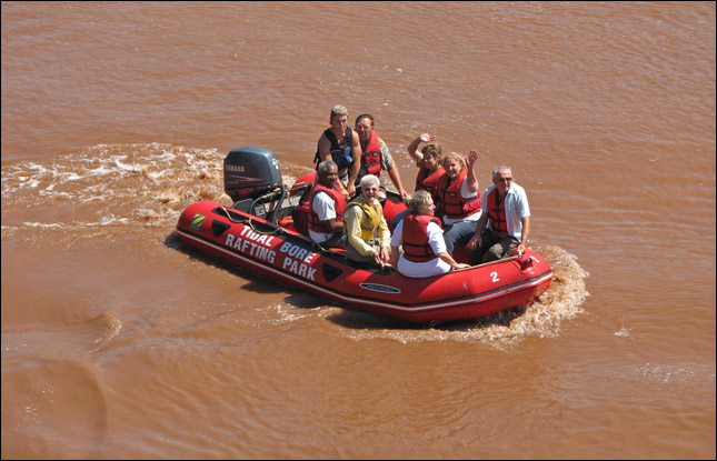
Our first stop was the South Maitland Tidal Bore earthcache. Judging by the schedule of the tides in the previous days and figuring that the bore would arrive some time just before high tide, we booted it all the way to Maitland in the hopes of catching the bore. And sure enough, we had only a short wait to see it. When we left the river all filled with water, it was hard to remember how empty it had looked when we first arrived. Apparently the tidal bore varies each time in terms of strength and size. We saw some people rafting in the water but I'm not sure I would call it rafting if you're using a motor the entire time! We left wondering if at other times the rapids are stronger.
From the Maitland Tidal Bore Earthcache:
"A tidal bore is a phenomenon in which the front of the rising tide propagates up a river as a bore, a churning and tumbling wall of water advancing up the river not unlike a breaking surf riding up a beach.
The rise and fall of ocean tides is caused by the gravitational "pull" of the moon on the earth's watery blanket. At most places along the ocean shores, high tides occur regulary every 12 hours, 25 minutes.
In the open ocean the tide only rises and falls a fraction of a meter. However, in most V-shaped bays and inlets the tide enters the broad end and the water literally "piles up" as it moves up the bay. In certain areas, such as the Bay of Fundy, the natural period of oscillation is very close to the tidal period and, just like water sloshing back and forth in a bowl, the rise and fall of the tide is greatly amplified. Thus, the tide water enters the bay at its widest point, and as it passes along towards the head of the bay, it is in effect squeezed by the ever-narrowing sides and by the constant "shallowing" of the bottom. At the very head of the bay this advancing tide becomes a wave varying from just a ripple to several feet in height, and this wave continues into and up the rivers which empty into the bay. This wave is referred to as a "Tidal Bore". Thus we have the phenomenon of a river changing its flow before your very eyes, created by the tidal wave, or bore, flowing in OVER the outgoing river water."
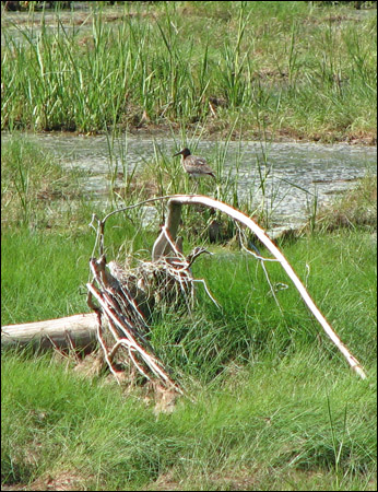
This bird greeted us when we walked along the trail to get to the lookout.

Sam was excited to find one of the clothespins hidden along the trail... it meant she got to pick out a treasure when she got back to the visitor centre.
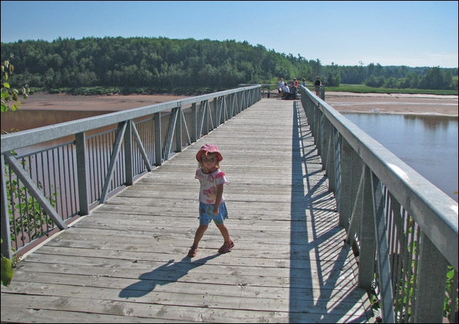
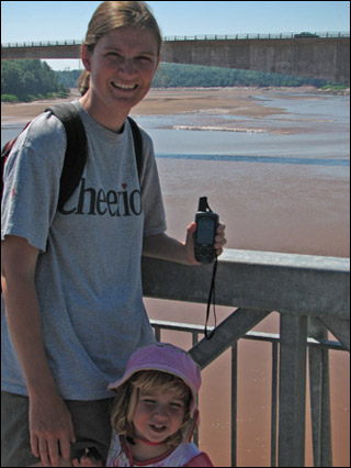
Samantha heading out to the viewing platform.
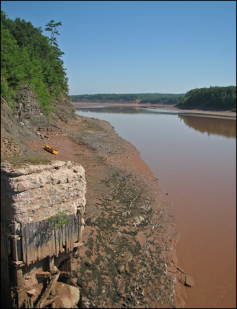
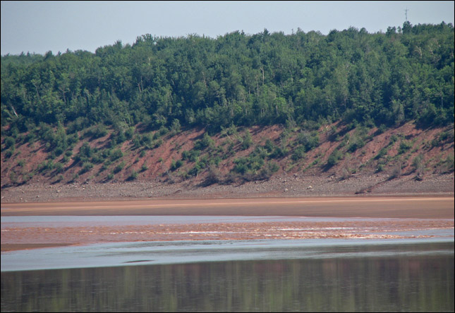
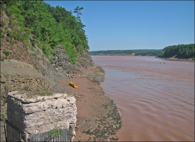
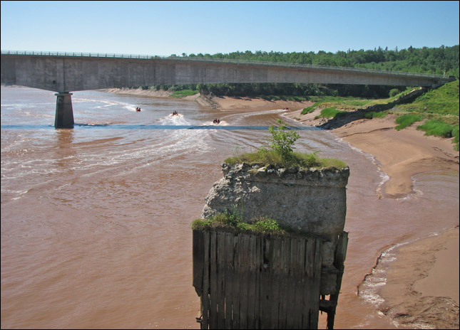
A view down the Shubenacadie River which is the longest river in Nova Scotia.
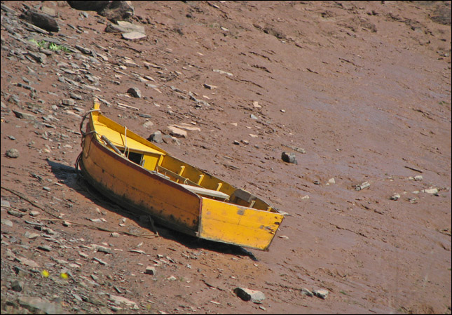
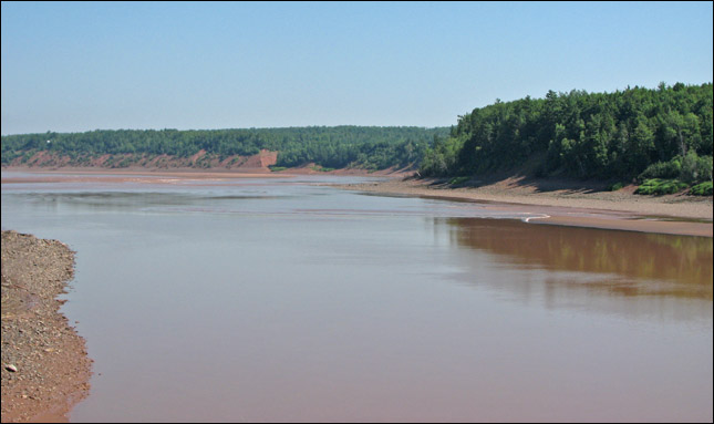
Me thinks the tide be low right now.
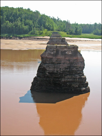
Looking over the pillars of an old bridge.
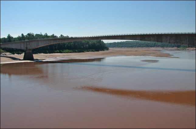
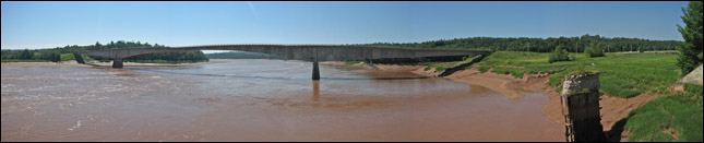
The new bridge crossing what looks like a very dried up river.
As the tide comes in, it creates temporary 'rapids'.
The tidal bore is not that huge today, but it's amazing to see the river filling up.

The tidal bore has passed by the platform now and the river continues to fill up.
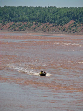
Here come the 'rafters'!
I think the motor is causing more waves than the bore!
The Shubenacadie is looking much more like a river now.
Sidestreams are also navigable by boat now.

The Visitor Centre enlightens us on how a 'bore' can be 'exciting'...
hmmm, that rafting looks a little more exciting than what we just witnessed.

A ranking of the highest tides in the world... look auntie Christine, Argentina made the list 3 times! But Canada took first and second place, with Cobequid Bay in the Bay of Fundy having had the highest tide readings at 17m high.

Samantha digs beneath all the large colourful toys in the treasure chest and finally ends up with her new friend 'camping bunny' in exchange for the clothespin she found along the trail.

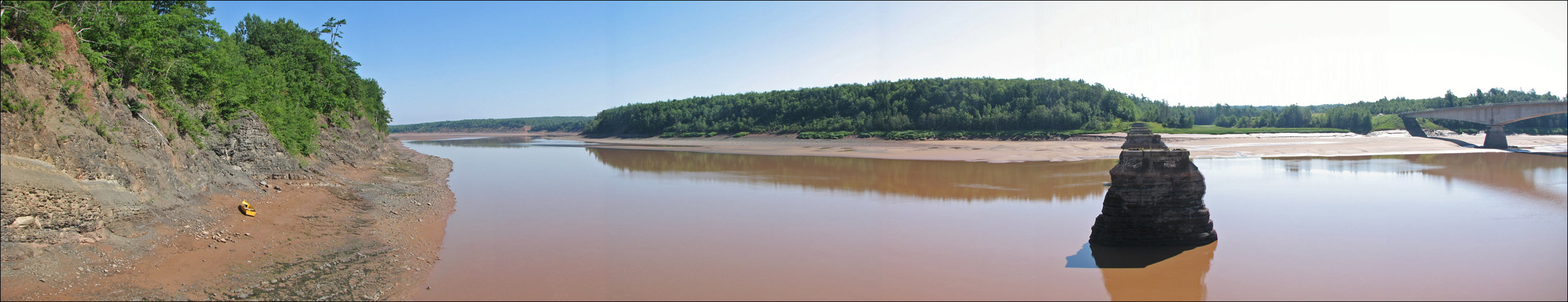
panoramic - view of the Shubenacadie river from the platform. [ larger view ]
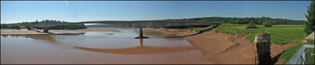
Panoramic - bridge and river before the tide started to come in. [ larger view ]
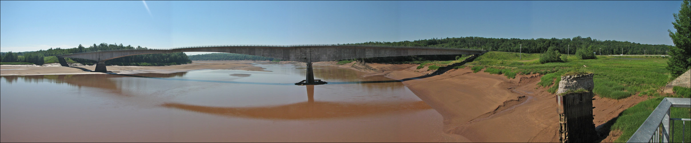
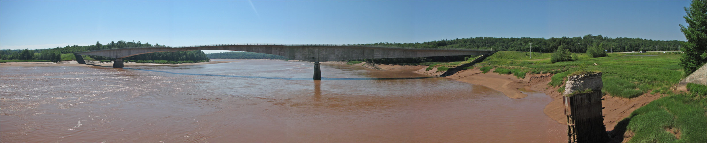
Panoramic - bridge and river after the tidal bore had come in. [ larger view ]
[ back ]