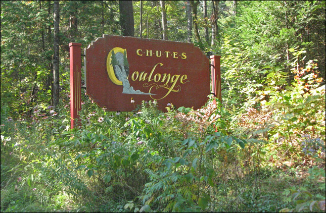
Coulonge Falls
September 25, 2008
One of our favourite maps of the Ottawa area is one that is distributed every year during the Wildlife Festival. It highlights conservation areas, forests, trails, wildlife centers and other points of interest in and around the Ottawa Valley. One of the points of interest at the edge of the map that we'd never been to before was the Coulonge Falls at Fort Coulonge. Near the junction of the Pontiac and Ottawa Rivers, it was a fair drive to get there, but it was a beautiful fall day and the Pontiac region is especially beautiful with the fall colours.
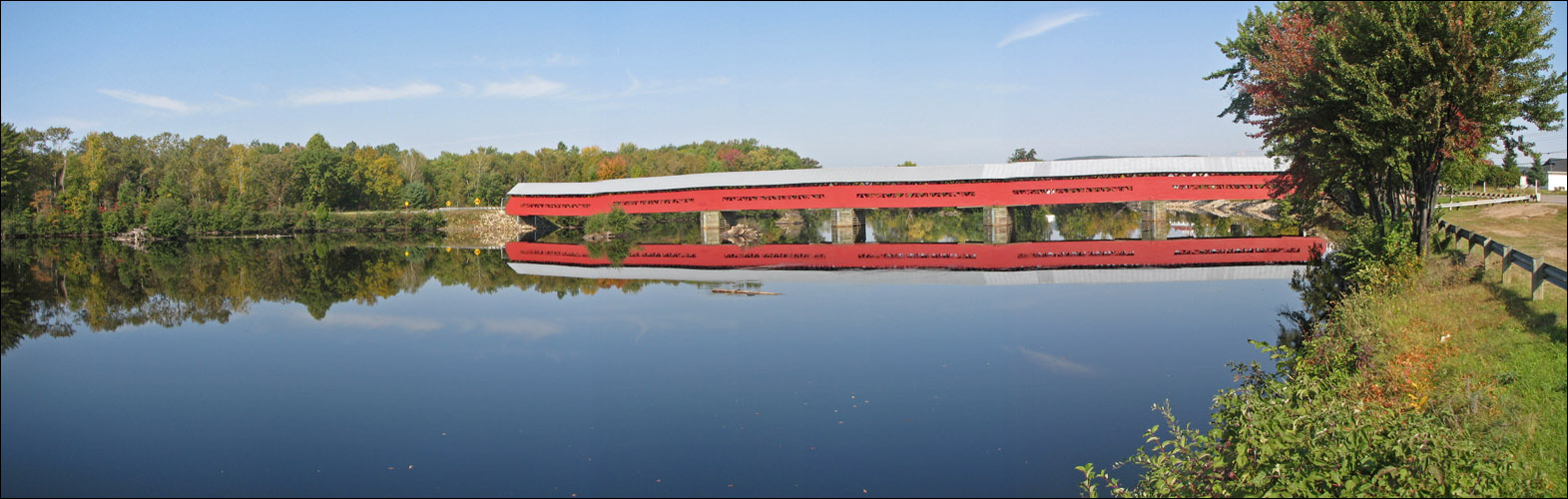
After visiting the Coulonge Falls we did a bit of geocaching in the area, including 2 caches at the Marchand Bridge, the longest covered bridge in Quebec.
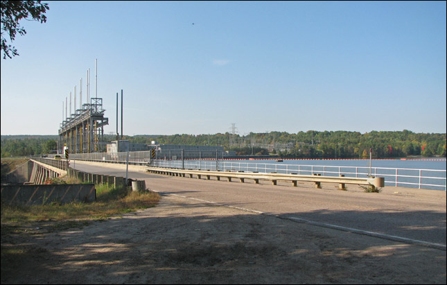
Crossing the Ottawa River by a hydro dam.
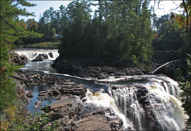
Arriving at the Coulonge Falls.
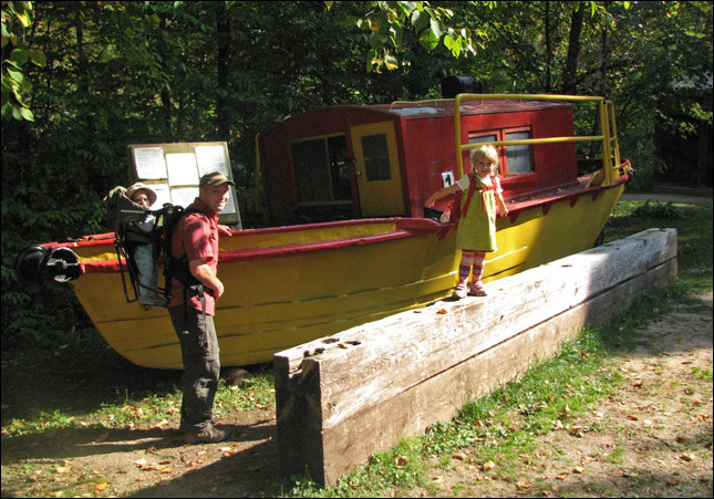
Besides the falls, there are some historic artefacts like this boat.
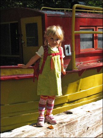
Samantha with the boat.
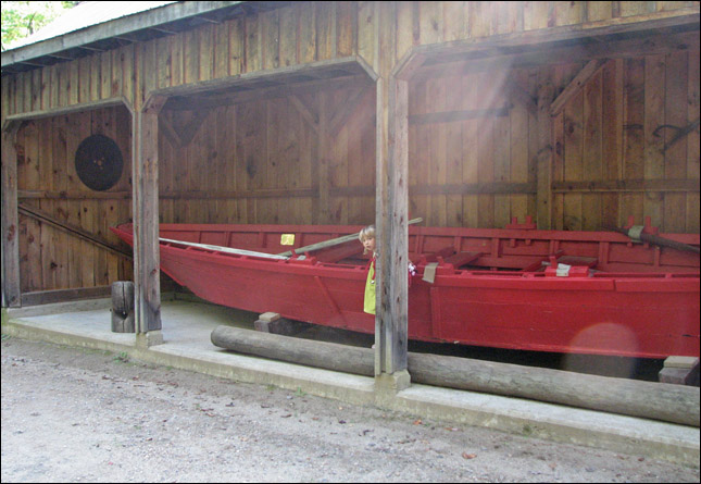
A pointer boat - Strong, bouyant and maneuberable, the Cockburn pointer boat was designed specifically to meet the needs of the Ottawa River log drive. With its flat bottom and sloping sides, it was claimed that a 50-foot pointer, weighing half a ton, could float in an inch and a half of water.
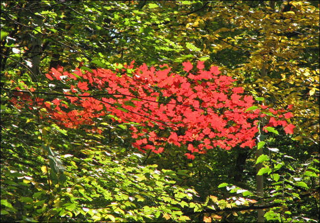
Fall colours.

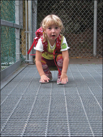
Samantha jumps off a 'lake' near the 'river' path.
The path is a map of the Drive Camps along the Coulonge River.
From the bridge we can see the viewing station for the falls.
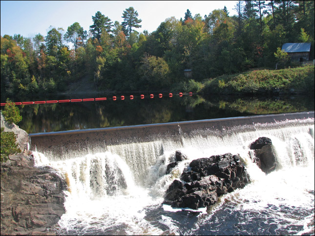
The water can be diverted from these falls to a generating station.
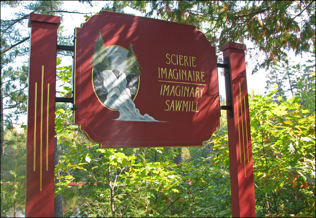
We liked this site... if you don't have the actual artefact, just make it an imaginary one! ;-)
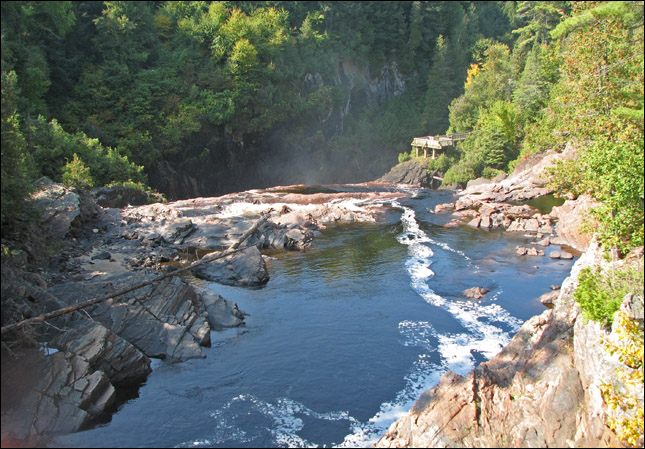
View of the Pontiac River above the falls.
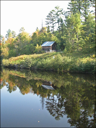
The slidemaster's cabin across the river. The first slidemaster was Ned Davis of Fort Coulonge, who came up from the village each day to manage a crew of 10 to 12 men, who stayed in the slidemaster's cabin on the riverbank opposite the falls. As timber came down the river, the logs were gathered in a boom along the far bank. The slidemaster would inspect the logs for the mark of the cutting company, make a record of the number of logs, and send them down the slide.
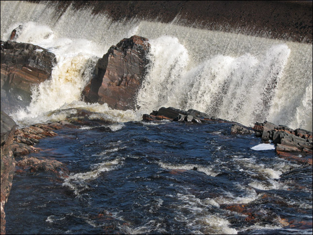
Water rushing over the rocks.
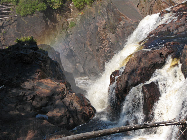
A faint rainbow in the mist of the falls.
View from the top of the log slide. In 1923 the original wooden slide was replaced by the concrete slide which is still in place today.
Christopher and Rubby checking things out.
Sam enjoyed looking down at the water rushing by below.
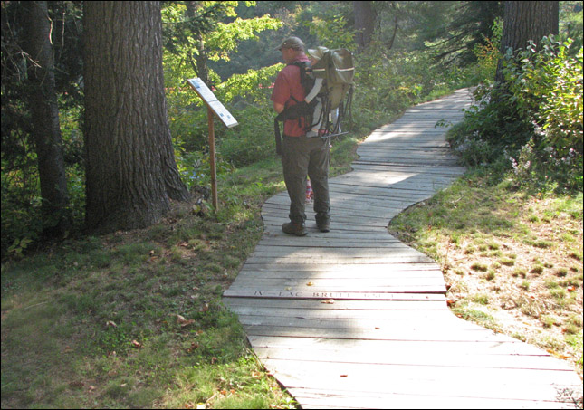
A view from the path going to the viewing station.
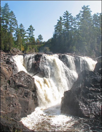
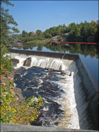
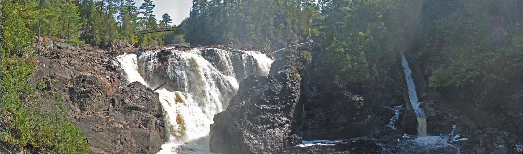
The Coulonge Falls.
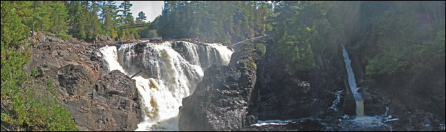
Panoramic of the Coulonge Falls.
[ click here to see a large version ]
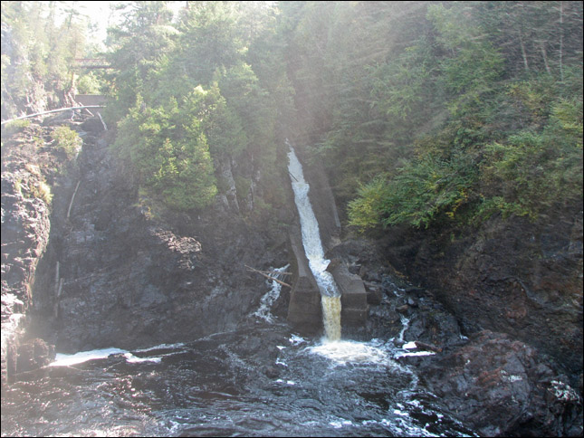
The concrete log slide. This slide has been retired since 1983, when the last log drive on the Coulonge took place.

One last photo at the falls.
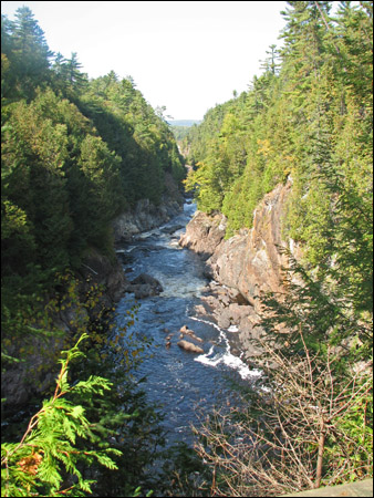
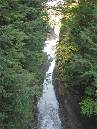
Looking down along the gorge.
Samantha looks disappointed that she can't play in the grown-ups' playground.
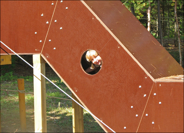
But where did she go? Peekaboo!...
... across a bridge...
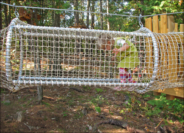
... through a net tunnel...
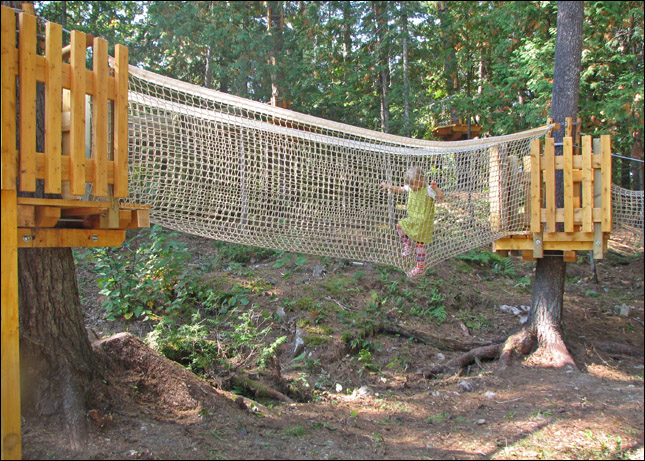
... across a net bridge...
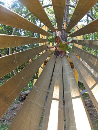
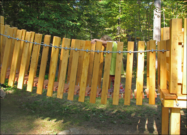
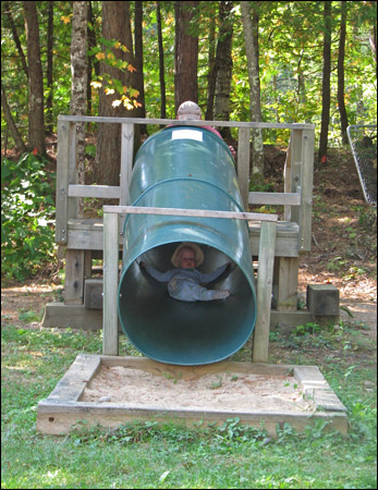
... and down the slatted slide!
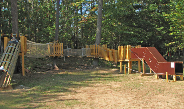
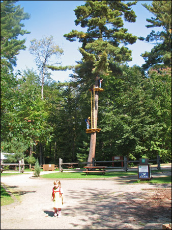
A kids' version of an aerial park!
Samantha was quite excited to have this whole park to herself!
Christopher found the baby 'aerial' park.
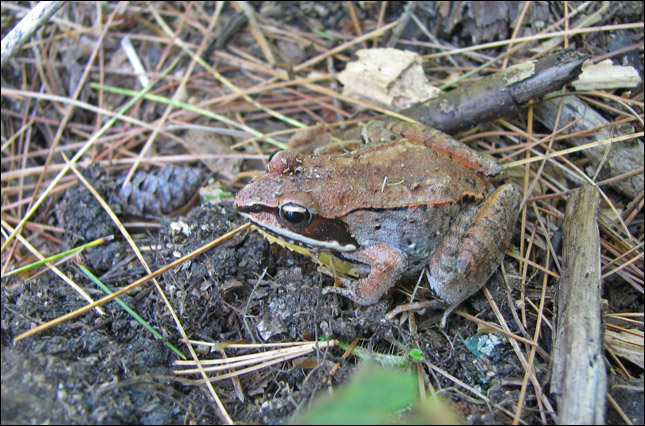
A wood frog...
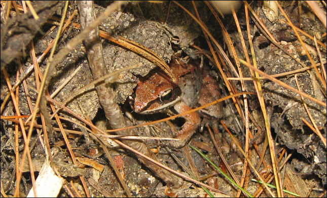
it found a little hiding spot to get away from us.

Samantha checking out the wood frog.
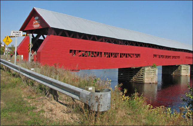
Pont Marchand: built in 1898, it is 151.59m long.
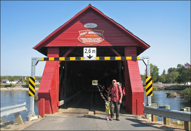
Rubby and Sam at the bridge.
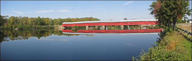
Pont Marchand is the longest covered bridge in Quebec.
[ click here to see a large version ]
A brief geology lesson about the Coulonge escarpment:
Pontiac county is located at the junction of two distinct geological regions: the 2.5 billion-year-old Canadian shield and the much younger 600 million year old, Saint Lawrence Lowlands. The faulting and folding patterns of the rock along the canyon wall are evidence of the conditions which existed 15 to 20 km beneath the earth's crust more than a billion years ago. The rocks of the Coulonge escarpment were formed 1.1 to 1.6 billion years ago by the movement of continental plates beneath the earth's crust and the resulting heat and pressure. This movement trnaformed igneous or sedimentary rocks of limestone, granite and shale onthe ocean floor into new crystalline forms of quartz, gneiss and marble. About 1,200 to 1,000 million years ago, these rocks were pushed up from the ocean floor by movements of continental plates to form a mountain chain, as majestic as the Himalayas.
The fractures along the canyon wall formed the the tip of the Canadian Shield collapsed about 600 million years ago. This erosion created the Coulonge escarpment and a vast plain knows as the Saint Lawrence Lowlands. The North American continent began to break up in and along the fractured fault of the earth's crust and the valley was invaded by the Iapetus Sea. The seabed eventually filled with sand, clay and marine sediments and this accumulation led to the formation of sedimentary rocks such as limetsone, dolomite, shaled, etc, characteristic of the region. As the continent drifted northward and the climate cooled, the land was covered with an ice cap which lasted from 1.65 million years to 10,000 years.
Between 12,000 years and 9, 500 years ago, the continent sank under the weight of the ice cap and the Atlandtic ocean spilled into the St. Lawrence and Ottawa valleys to create the Champlain Sea. As the ice cap slowly retreated, the continent began to rise, forcing the Champlain Sea to drain back out to its source. The Coulonge escarpment marks the approximate northern limit of the Champlain Sea and the Coulonge River.