Maritimes
August 4 to 21, 2009
Aug 12: geocaching
My dad and I decided to take a few hours to go geocaching while my mom & aunts played with Samantha and christopher had his nap
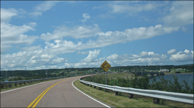
bridge is up!?
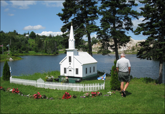
that's one small church.
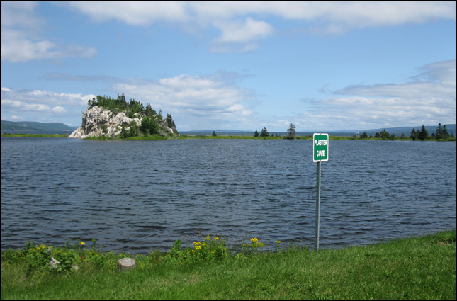
a view of plaster cove

a nice view.
looking for a geocache called "Alone at the Lake"
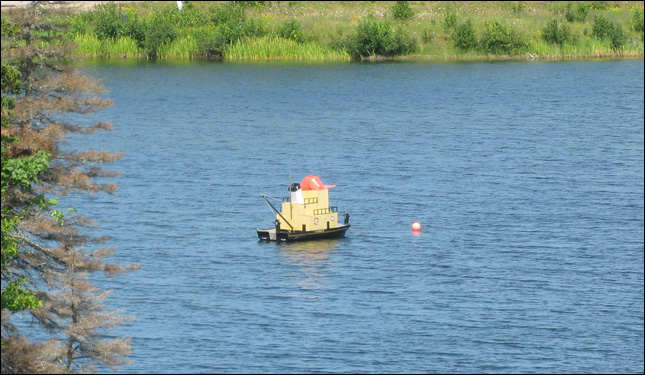
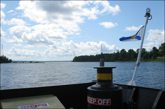
a fancy buoy?
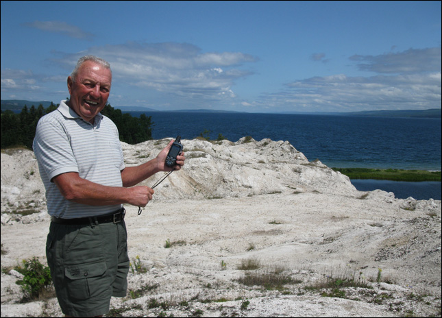
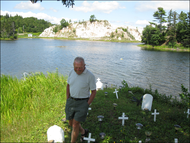
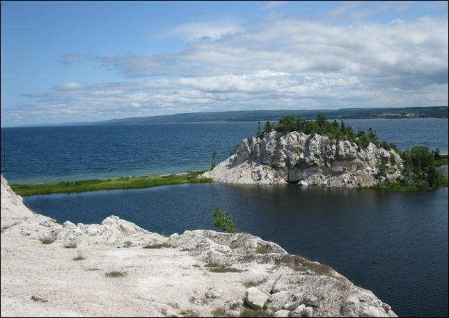
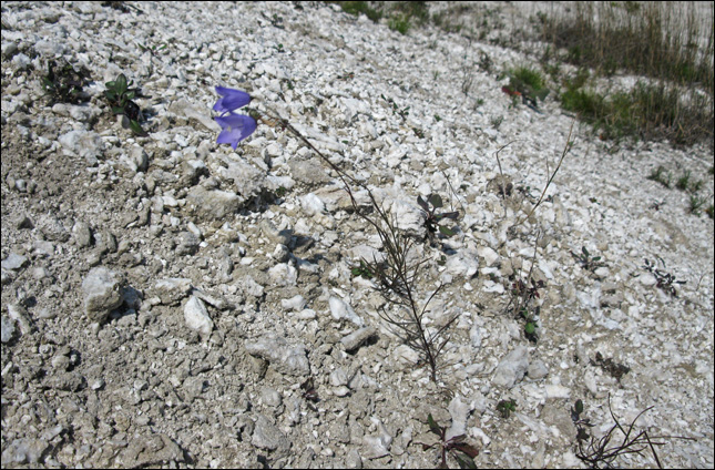
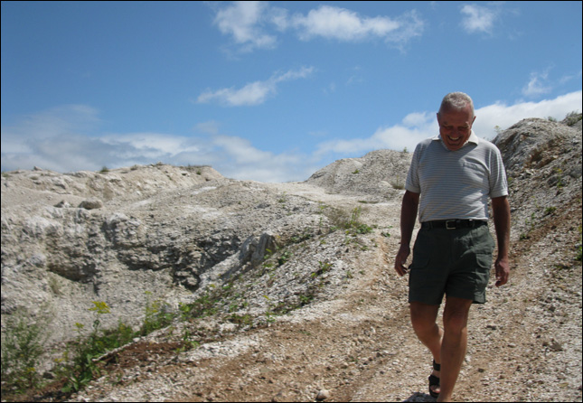
doing an earthcache called "What a Gyp!"
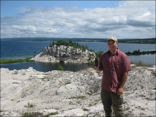
This earthcache is a gypsum outcropping near the village of Iona.
An "outcrop" is an exposure of bedrock or other deposits at the surface of the earth. Outcrops do not cover the majority of the Earth's land surface. In most places the bedrock or superficial deposits are covered by a mantle of soil and vegetation and cannot be seen or examined closely. However, in places where the overlying cover is removed through erosion, the rock may be exposed, or crop out. This is certainly such an area. Outcrops allow direct observation and sampling of the rock on-site for geologic analysis and creating geologic maps. On site measurements are critical for proper analysis of geological history and outcrops are therefore extremely important for understanding earth history. Outcrops are also critically important for understanding fossil assemblages, paleo-environment, and evolution as they provide a record of relative changes within geologic strata. Outcrops can therefore be considered a fundamental element of geologic science.
plants live here
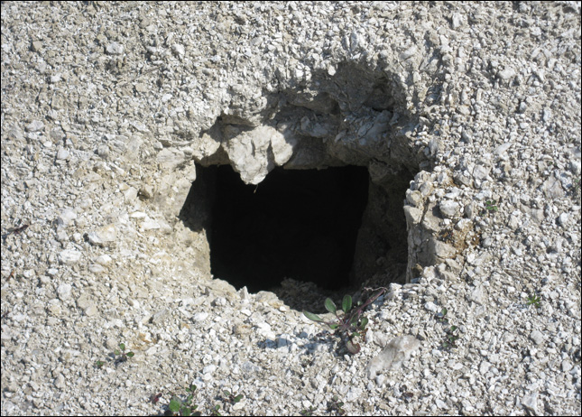
and so do some animals
Nova Scotia's gypsum and anhydrite (anhydrite is gypsum without the water) deposits are among the largest workable deposits in Canada. Nova Scotia is the most productive gypsum mining region in the world. Gypsum outcrops throughout the whole of the northern half of the Province's mainland, and Cape Breton is flush with gypsum and anhydrite. Areas in Nova Scotia underlain by gypsum often display a very rough terrain, having many pits and mounds. This karst topography is common even when the rocks themselves cannot be seen at surface and is a good indication of the presence of gypsum. Imagine this area with a layer of soil over it... it would still be geographically distinctive! Almost all gypsum and anhydrite occurrences in Nova Scotia are of the Carboniferous age (approximately 290-350 million years old).
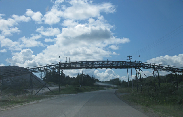
piping bridge thing.
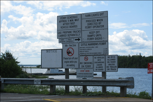
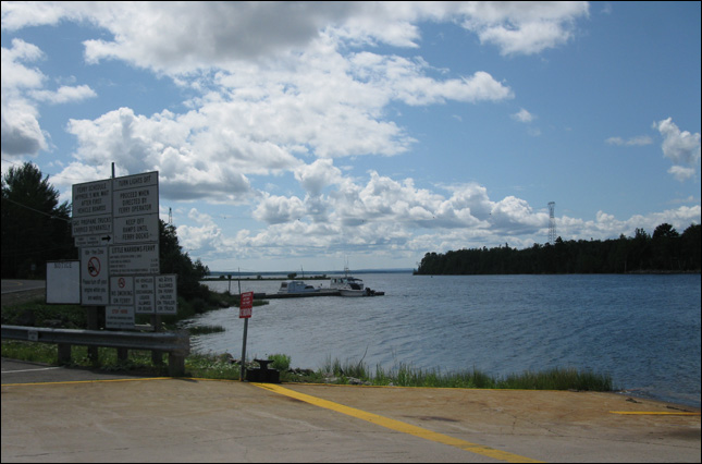
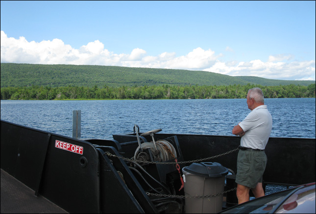
lots of rules for a 5 minute ferry ride.
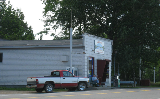
old man sitting in front of his store.
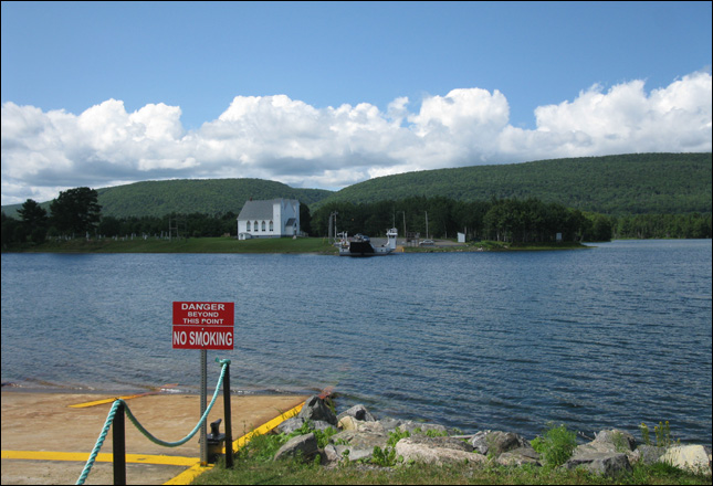
the wide gap to cross.
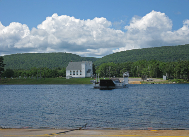
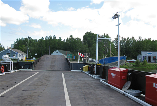
here comes the ferry!
a view down river.

$5.00 for a 5 minute ride.
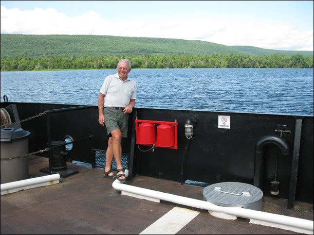
but still enough time to get out and stretch our legs.
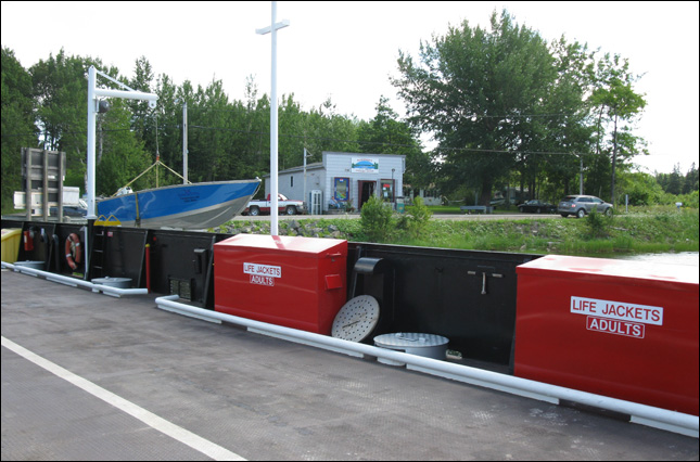
life jackets.
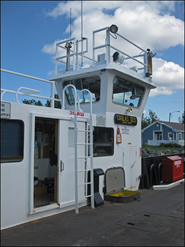
the captain's "office"
 a nice peaceful ride
and we're done.
 checking out the scenery
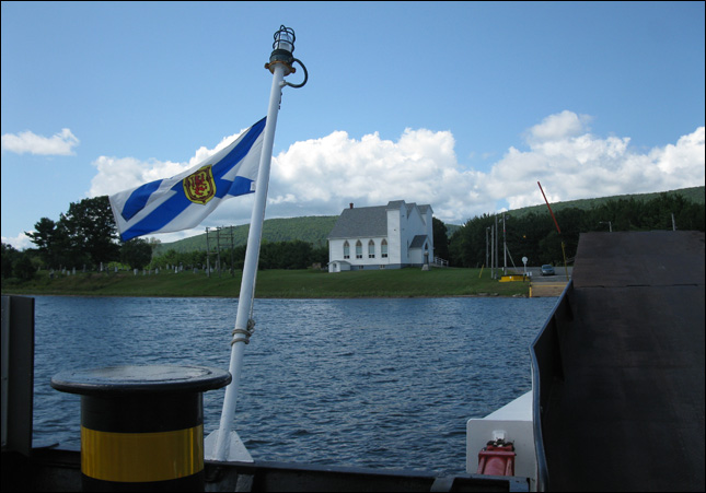
a church
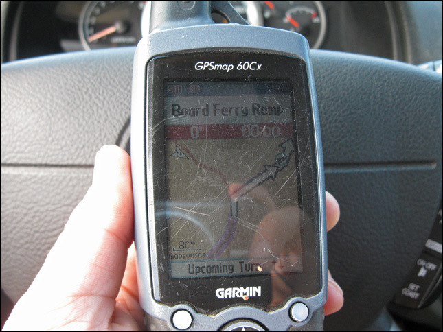
good thing we have the gps or we might not have figure out where to go
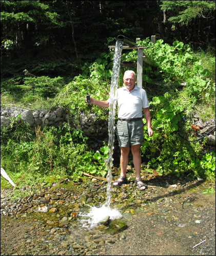
next earthcache: "Bucklaw Artesian"
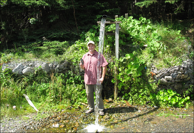
An artesian well allows water to rise to the surface that has traveled through porous rock from a higher elevation. This pumpless well seems to defy gravity because the pressure that builds up between layers of rock gets relieved when the water finds a path to the open air. For nearly a thousand years, people have drilled wells to drink such cold, filtered water that doesn't need to be hauled up from the depths. An aquifer provides the water source for an artesian well. An aquifer is the layer of permeable rock, like limestone or sandstone, that absorbs water from an inlet path at high elevation such as the top of a mountain. The water source might be fed by snowmelt or precipitation. Porous stone is sandwiched between a top and bottom layer of an impermeable substance like clay soil or shale rock. This keeps the water pressure high, so that when you get to a point below the entryway of the flow, there is enough pressure to bring the water up. Natural springs form in the same way when a gap in the impermeable rock, maybe triggered by an earthquake, allows the water to rise to the surface. Entire cities have relied on giant underground aquifers to provide fresh, cold water when there are no above-ground rivers. In 1126, monks used a rod with a sharp end, called a bore, to penetrate a layer of impermeable rock. Their percussive drilling, just hammering on the end of the bore, broke through with sheer human force. The water that rose had percolated through the pores of the rock, so that many contaminants have been filtered out, and it proved safer to drink than standing or river water. Nowadays, if a town or residency needs water closer to the top of a mountain, they might lie above the line where there is enough pressure to push the water all the way to the surface. In this case, the aquifer can be accessed by drilling a relatively shallow well and then pumping the water up to ground level. Our well-drilling has progressed from hammers and bores, to machinery that twists a giant drill into the ground. Sometimes, if the pressure is especially strong, because the well is lower in elevation, the water might thrust up like a fountain, and form a geyser. This particular artesian spring is less dramatic than a geyser, but it still provides a steady source of fresh, clear water.
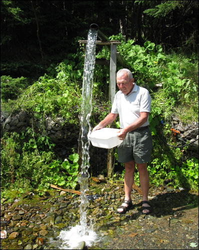
one of the requirements: "Measure the water flow in units per minute."

this is how not to measure the water flow
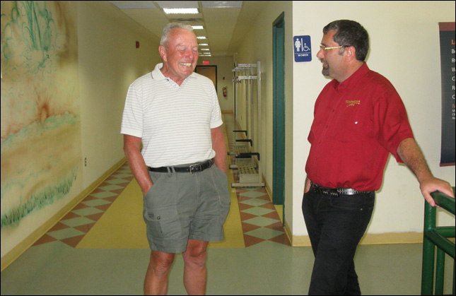
we stop in to say hi to michael
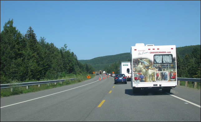
summer construction
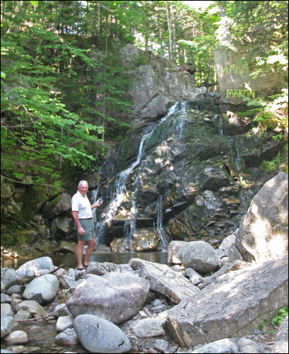
doing an earthcache called "Camp Carter Falls / Steeves Memorial Scouts #5"

we got to figure out how deep the pool is.
This earthcache is located on the grounds of Camp Carter, a Scout camp near New Harris Settlement. It was the site of SJ'09, a Scout jamboree. My Steeves Memorial Scouts and I attended this jamboree and wanted to leave an earthcache here.
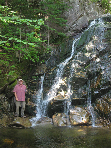
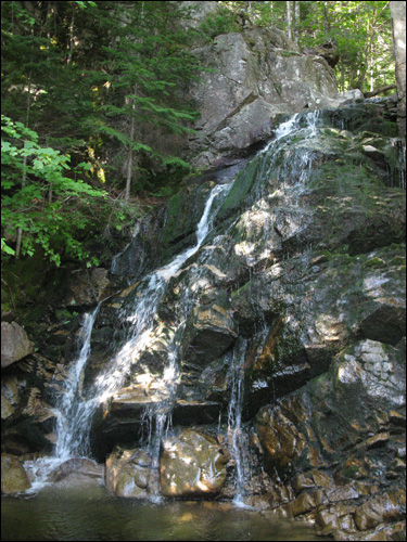
Typically, a river flows over a large step in the rocks that may have been formed by a fault line. As it increases its velocity at the edge of the waterfall, it plucks material from the riverbed. This causes the waterfall to carve deeper into the bed and to recede upstream. Often over time, the waterfall will recede back to form a canyon or gorge downstream as it recedes upstream, and it will carve deeper into the ridge above it.
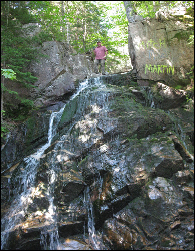
Often, the rock stratum just below the more resistant shelf will be of a softer type, meaning that undercutting due to splashback will occur here to form a shallow cave-like formation known as a rock shelter or plunge pool under and behind the waterfall. Eventually, the outcropping, more resistant cap rock will collapse under pressure to add blocks of rock to the base of the waterfall. These blocks of rock are then broken down into smaller boulders by attrition as they collide with each other, and they also erode the base of the waterfall by abrasion, creating a deep plunge pool or gorge.
Streams become wider and shallower just above waterfalls due to flowing over the rock shelf, and there is usually a deep pool just below the waterfall because of the kinetic energy of the water hitting the bottom. Waterfalls normally form in a rocky area due to erosion.
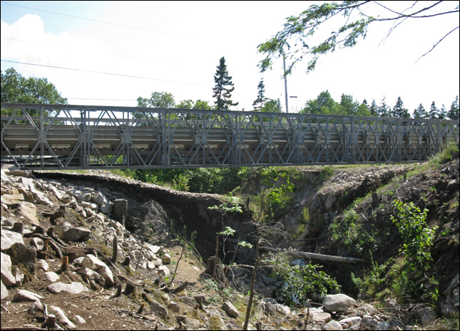
the bridge

another bridge.

same bridge
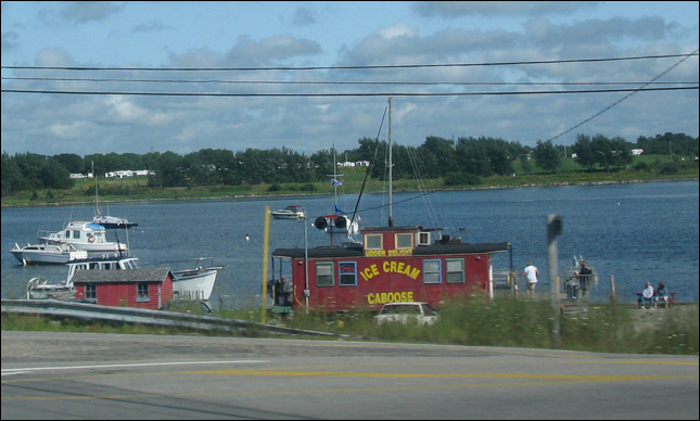
ice cream caboose! yummy!
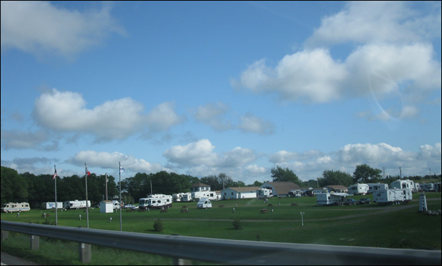
a trailor park
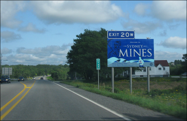
back in sydney mines
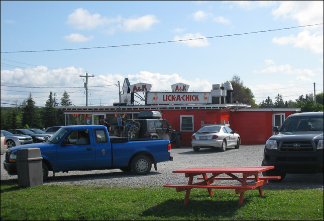
i've only stopped to eat here once... but always take a photo when I pass
<< | aug 12 intro | >>
| trip navigation - choose a day: |
| [ back to main trip page ] |