Maritimes
August 4 to 21, 2009
Aug 14: geocaching
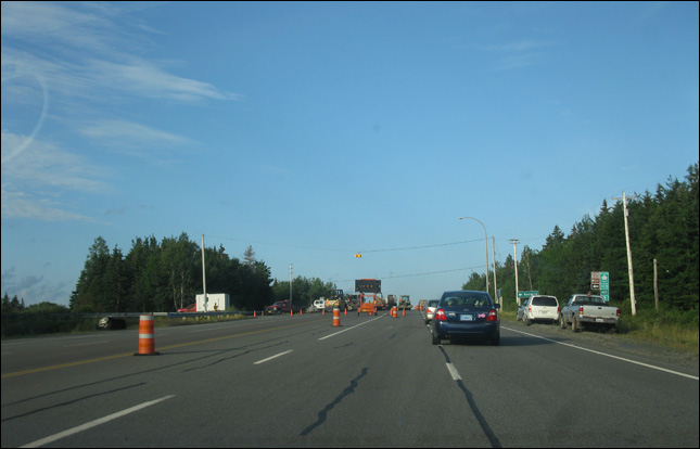
we run into more construction.
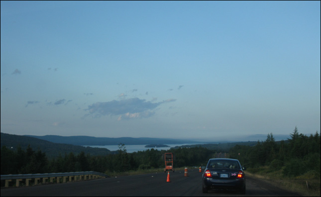
but at least there is a nice view.
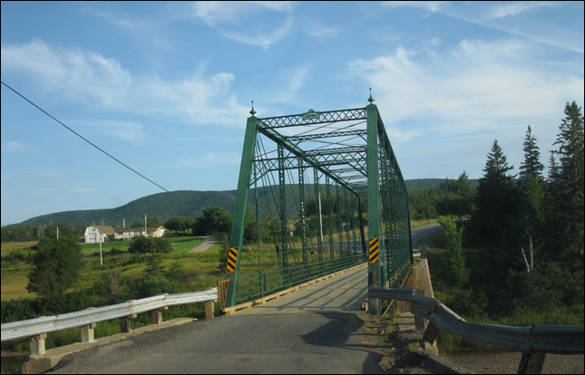
a small one lane bridge
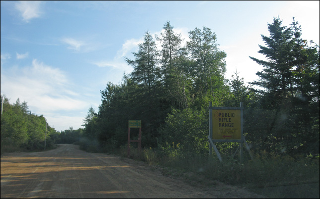
public rifle range? maybe this shortcut is not a good way to go.
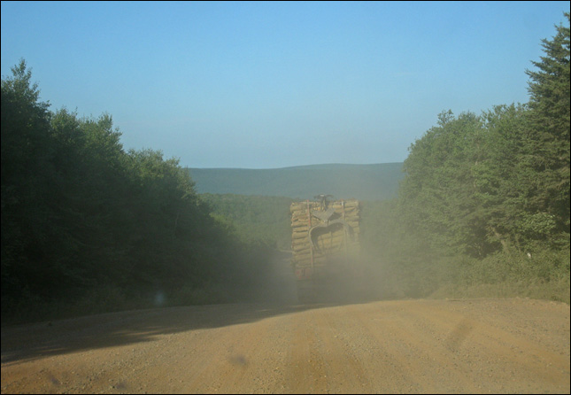
lots of logging truck everywhere.
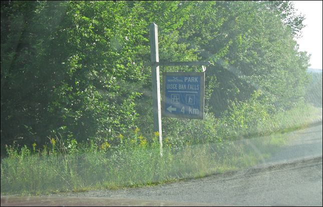
almost there.
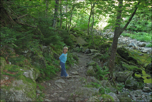
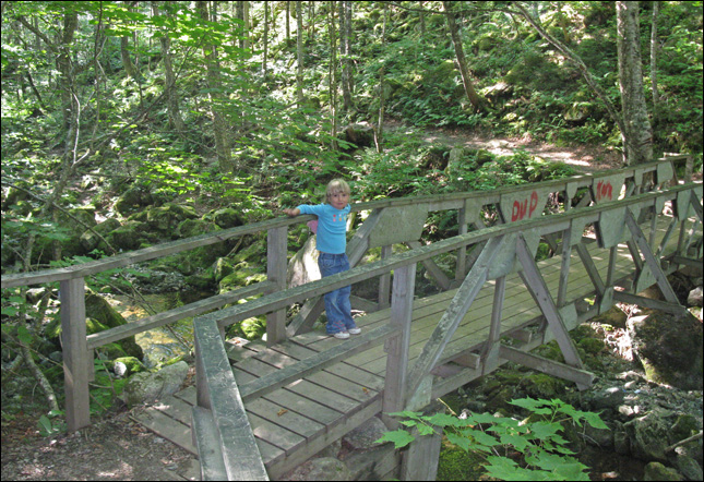
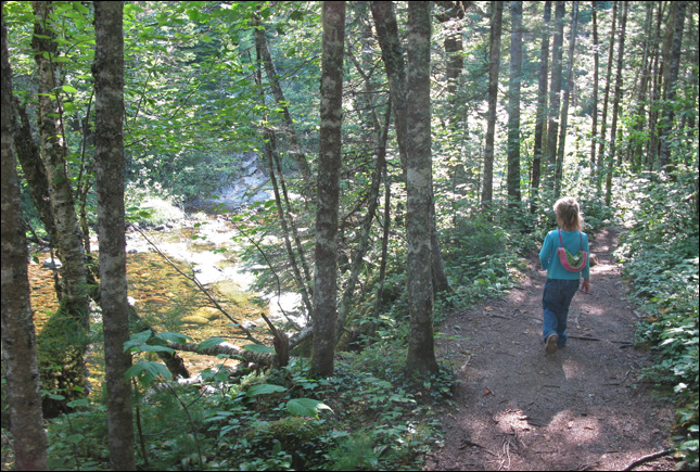
nice looking trails system.
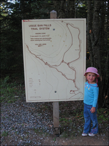
we are only going to do a samll part of it though.
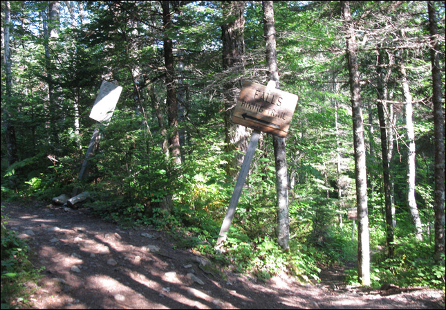
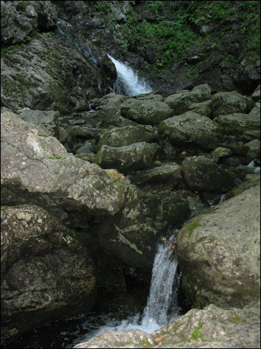
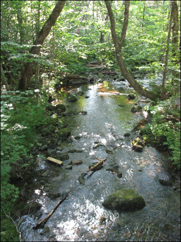
to the falls!
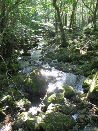
a very interesting forest
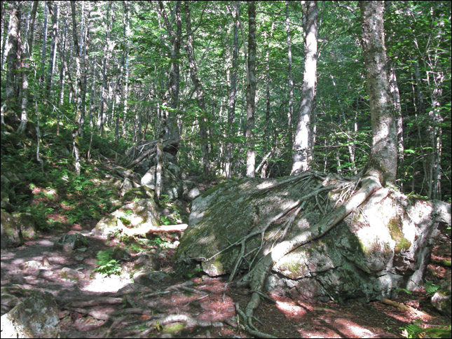
tree roots growing on boulders
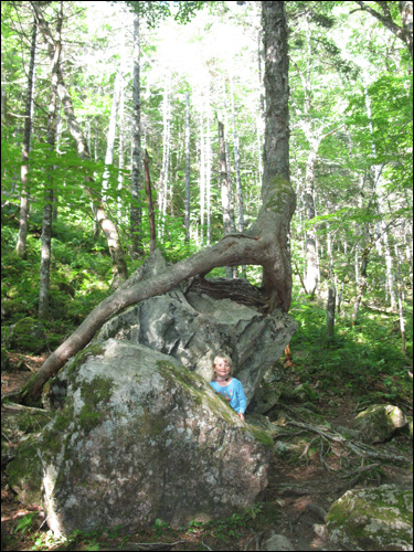
samantha is enjoying the mystical forest.
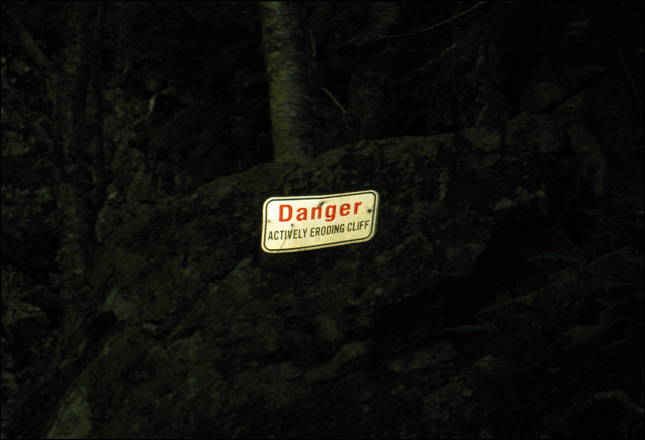
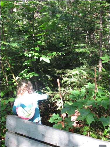
yikes!
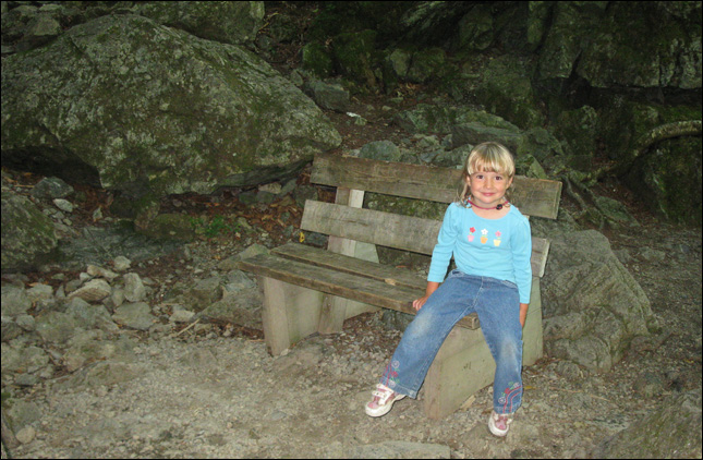
maybe they shouldn't put a bench in from of the cliff side
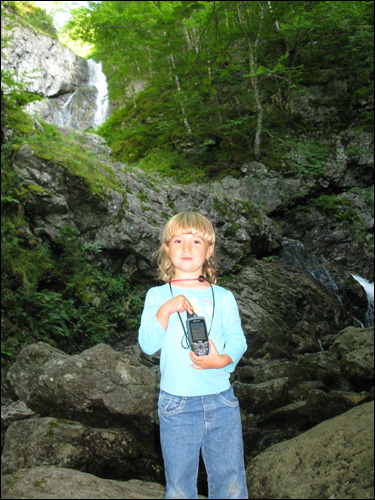
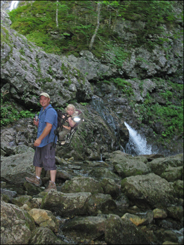
we arrive at the earthcache "Uisge Ban Falls"
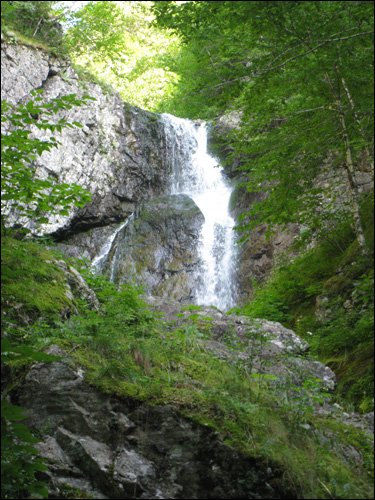
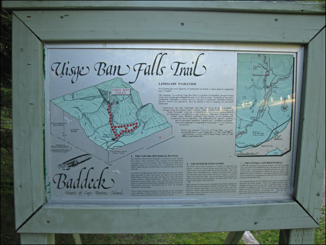
"The landscape surrounding Uisge Ban Falls is a product of incredibly powerful forces which have shaped and reshaped the area over 5 billion years. Formation of the earth's landmasses, tremendous volcanic activity, collision of continents, mountain-building, massive erosion and glaciation, have all played a role in shaping Nova Scotia's landscapes."
"Traditionally, the term "landscape" has been viewed as an artistic or aesthetic concept, being an expansive area of scenery observed from a single vantage point. Today, "landscape" is also used to describe areas which have common patterns of topography (or landforms) and vegetation. Individual landscapes may contain many different landforms, each having its own characteristic or particular mix of vegetation. The combination of a specific landform and its associated vegetation is known as a "landscape ecosystem". Thus, each landscape is composed of a recurring pattern of landscape ecosystems."
Within the immediate vicinity of Uisge Ban Falls, you will encounter three distinct landscapes: (1) The Cape Breton Boreal Plateau, (2) The Interior Steep Slopes, and (3) The Central Cape Breton Hills.
 1. THE CAPE BRETON BOREAL PLATEAU
The Cape Breton Boreal Plateau is an extensive, elevated, relatively level surface, which is bounded by steep, sometimes cliff-like slopes and is surrounded by much lower lowlands. This landscape has few lakes and is moderately dissected by slow-moving rivers. Its generally well drained, shallow, sandy loam soils are derived from very old granite, gneiss, and schist rock types.
As a result of its high elevation (300 to 450 meters above sea level) and its being surrounded by major water bodies, the climate of the Cape Breton Boreal Plateau Landscape is cool, moist, and windy year round. This type of climate produces a "maritime boreal forest". Unlike the continental boreal landscape of central Canada, with its white and black spruce and jack pine forests, the Cappe Breton Boreal Plateau Landscape is dominated by balsam fir. White spruce, white birch, and mountain ash are minor but consistent components of this landscape.
The two major landscape ecosystems of this landscape are the well-drained gently undulating coniferous (balsam fir forests)terrain; and the poorly drained flat coniferous(balsam fir, black spruce forests) terrain.
 2. THE INTERIOR STEEP SLOPES
The Interior Steep Slopes Landscape is a complex of steep canyons. It forms the interface between the elevated Cape Breton Boreal Plateau and the lower Central Cape Breton Hills landscapes. Major river systems, such as the Baddeck River, originate in the boreal plateau, plunge down the steep slopes (approximately 300 meters in height), to eventually empty into the Bras d'Or Lakes. Soil and rock types of this landscape are simliar to those found in the boreal plateau - well drained shallow sandy loams derived ancient granites, gneiss, and schists.
Major landscape ecosystems found in the Interior Steep Slopes Landscape are steep-sided canyons with deciduous, coniferous, and mixed forests. Dominant tree species include sugar maple, yellow birch, beech, white spruce and balsam fir. Pockets of pure eastern hemlock forests can be found along the lowers slopes of many of the major canyons. Provincially rare and uncommon plants occur in the canyons.
3. THE CENTRAL CAPE BRETON HILLS
The Central Cape Breton Hills Landscape, bounded to the north by the steep slopes associated with the Boreal Plateau and to the south by the waters of the Bras d'Or Lakes, is characterized by rolling hills and large river valleys. The northern portion of this landscape is dissected by the lower valleys of the Baddeck River and the North River. Soils consist of deep, well drained sandy loams developed from conglomerates and sandstones and of poorer drained clay loams developed from shales.
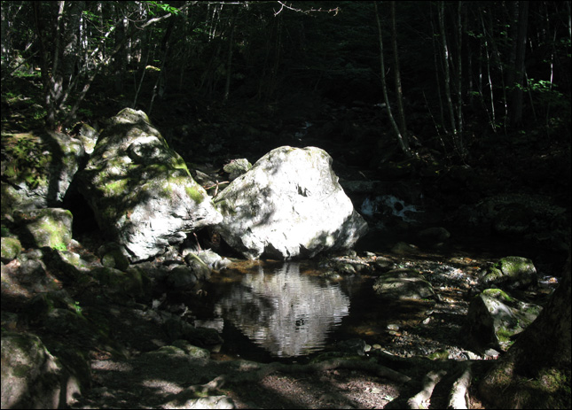
scenic.
now sam is searching for a regular geocache.
time to head back to the car.
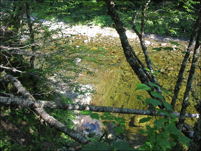
hard to see in this photo, but the rock formations were very interesting.
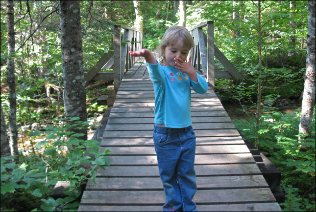
sam goofing around.
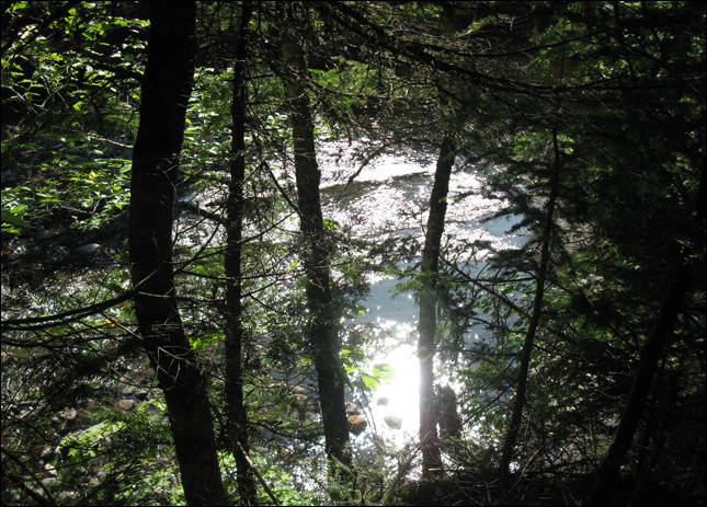
one last peek before heading back to the car.
<< | aug 14 intro | >>
| trip navigation - choose a day: |
| [ back to main trip page ] |