Maritimes
August 4 to 21, 2009
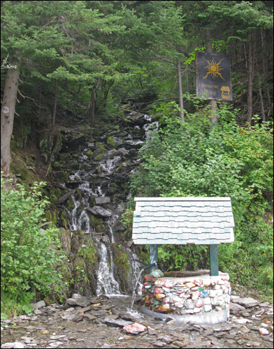
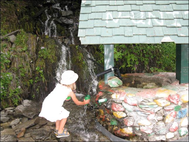
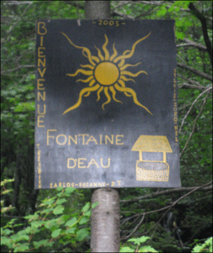
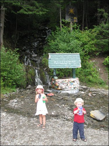
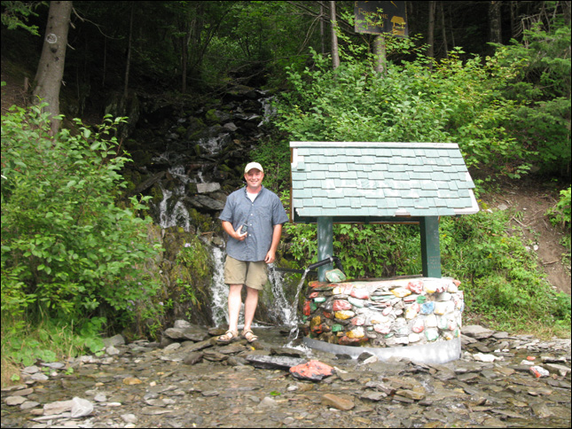
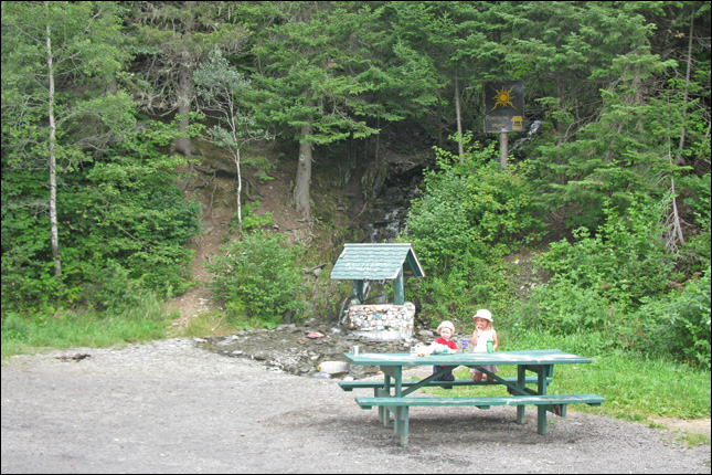
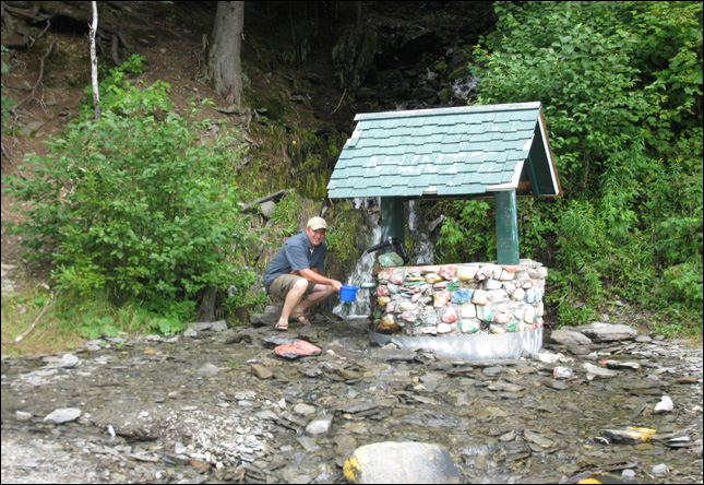
Aug 20: earthcache - la fontaine d'eau
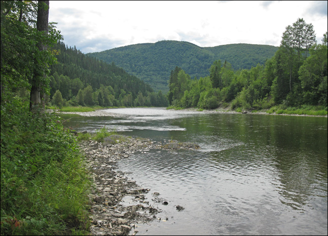
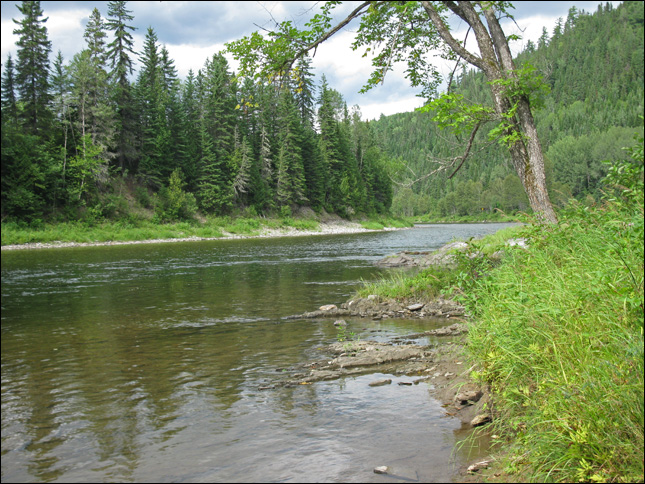
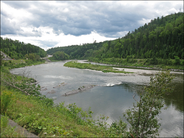
This earthcache is an example of a mountainside spring-fed waterfall, which falls into a “well”. It is located along Old route 132 along the Matepedia River. This mountainous region consists of mainly of medium to dark grey, very fine-grained calcilutite, regularly interbedded with calcareous shale; minor fine-grained calcarenite and non-calcareous shale or siltstone. Many ledges are found in the river which flows at the foot of these mountains, which provide” pools for Atlantic Salmon” and several fishing pools/sectors are fished seasonally.
At this spring, a well has been built around it so that the public can access it which provides a steady source of fresh, clear water.

<< | aug 20 intro | >>
| trip navigation - choose a day: |
| [ back to main trip page ] |