Argentina
November 6-29, 2009
November 21: Vólcan lanín: Senda El Mirador and the Lanín Earthcache
 Vólcan Lanín (3776m) - meaning "choked himself to death" in Mapudungun - is a volcano now believed to be extinct. Here is the information as was posted on the Earthcache:
One of the world’s most beautiful mountains on the border between Argentina and Chile. The cache co-ordinates refer to a viewpoint (easy climb, 1.5h round trip from the road).
It is possible to climb the volcano and for the fit and experienced mountaineer the 3 day hike is a wonderful and exhilarating experience. However for the purpose of the earth cache we will settle for a less challenging climb. There is a viewpoint at 39°34.972'S, 71°26.079'W near the Chilean border at Paso Tromen (aka Paso Mamuil Malal) with great views of the volcano. The trail starts at 39°35.320'S, 71°25.957'W and a moderately steep path leads up the hill to the viewpoint.
Lanín is geologically one of the youngest volcanoes and is now extinct. It is a stratovolcano, meaning it is tall, conical and composed of many layers of hardened lava and volcanic ash. This is the result of many periodic, explosive eruptions. The lava is viscous and cools down relatively quickly so it doesn’t get the chance to spread out but builds up high instead. Stratovolcanos are sometimes called composite volcanoes referring to their layered structure which is the result of many periodic outbreaks and following inactive periods.
Stratovolcanoes typically occur at the edges of tectonic plates, boundaries where oceanic crust is subsumed under continental crust. Magma rises when water from hydrated minerals or porous basalt rock is released into mantle rock above the sinking oceanic slab. The water lowers the melting point of the overlying mantle rock, which partially melts and rises due to its lower density relative to the surrounding mantle rock. On its way through the crust the magma incorporates silica rich crystal rock, leading to its final composition.
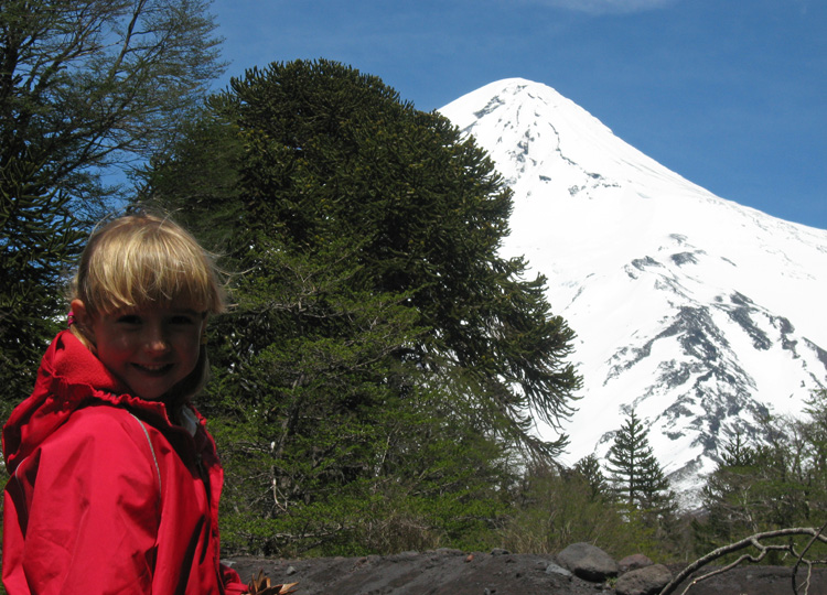
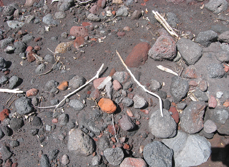
One feature that distinguishes Lanín from other volcanoes in the Andes is the colour of its volcanic rocks. In addition to the typical grey gravel you will find rocks and pebbles of a different colour. To log this earth cache, please mail the colour of the rocks and, if you know, the type. Please post a picture of yourself at the viewpoint with the volcano in the background.
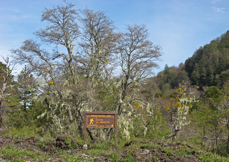
A sign for a short hike along the Lookout Trail (Senda El Mirador).
Note, this trail was not mentioned in our guidebook nor shown on any of the park or area maps.
At the base of Vólcan Lanín - the 2-3 day north side ascent of the volcano starts here.

You have to register at the guardaparque who will check to make sure you have
all the right equipment for the hike up the mountain.
The gendarmerie just a couple of kilometres from the chilean border.

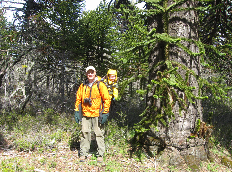
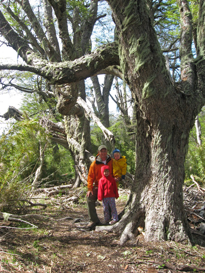
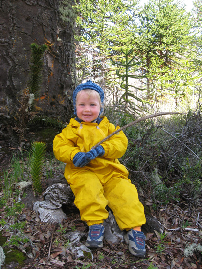
Samantha next to a giant monkey puzzle tree.

Christopher wants to check out the "mousy puzzle tree too!"
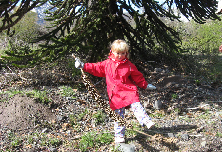
Samantha found a dead branch of the monkey puzzle tree... or is that the monkey's tail?!
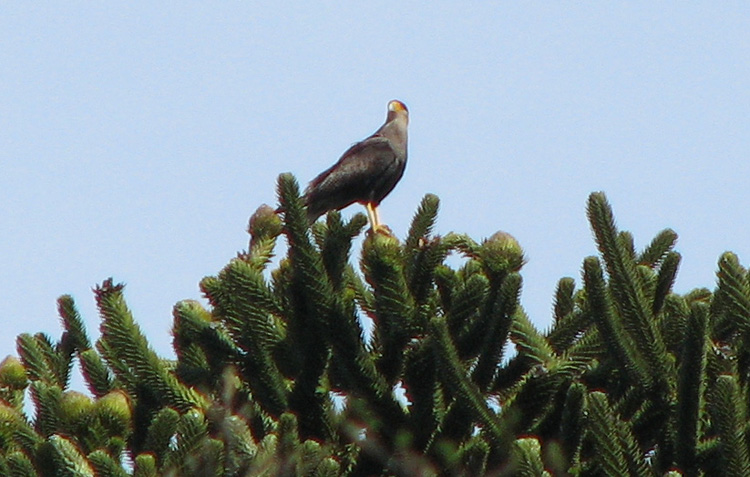
A carancho up in a monkey puzzle tree.
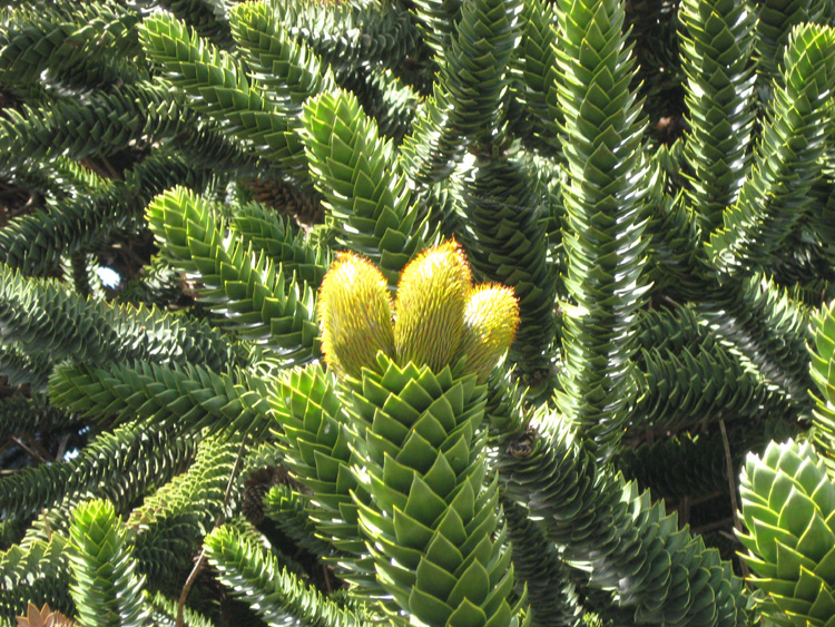
Female pine cones.
Christopher gets a close-up view of the tree.

Samantha with a baby monkey puzzle tree next to a fully grown one.
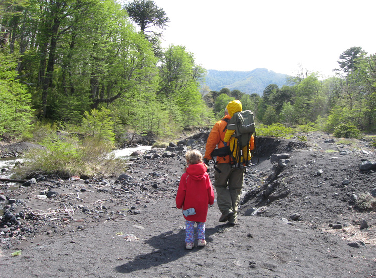
We come to a little stream where we can find the answer to the earthcache question...
in addition to the typical grey gravel of the volcanic rocks, we also find red rocks.
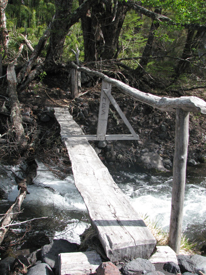
The bridge at the stream crossing.
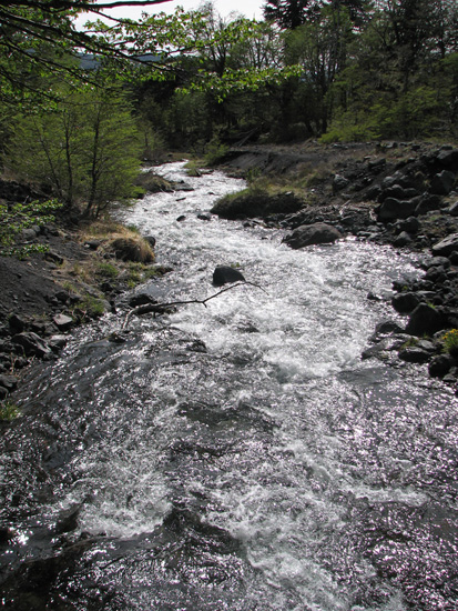
The pretty stream in the sunlight.
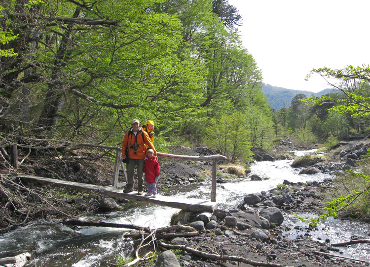
Rubby and the kids crossing the stream.
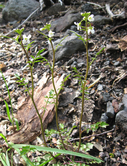
Pretty flowers.
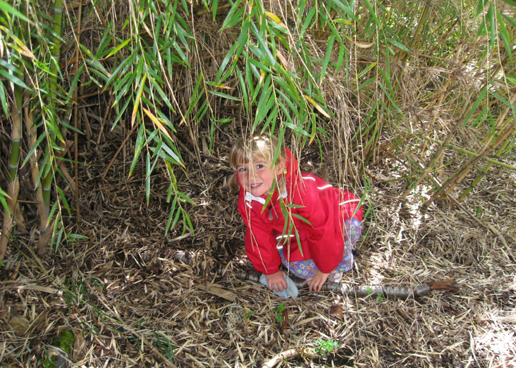
Samantha hiding under the caña colihue.
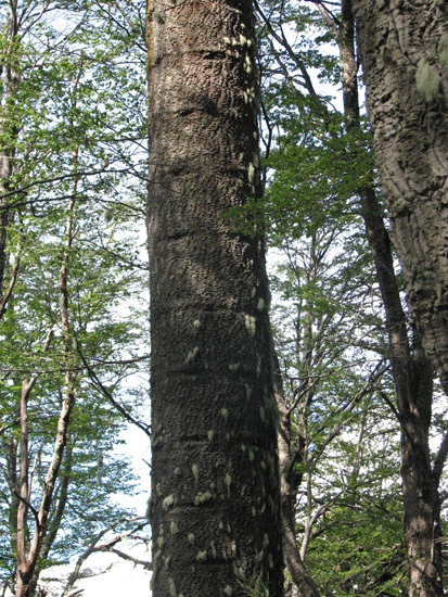
Interesting horizontal markings on the tree trunk.
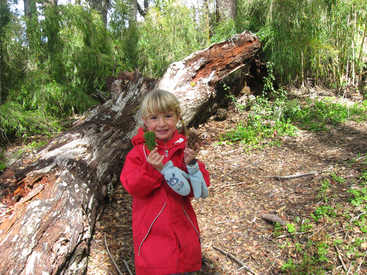
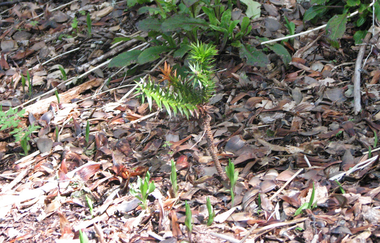
Samantha collecting araucaria branches... one fresh, one dead.
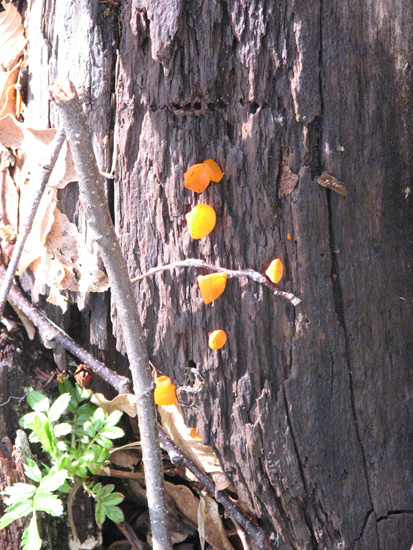
Mushroom growths on a dead tree.
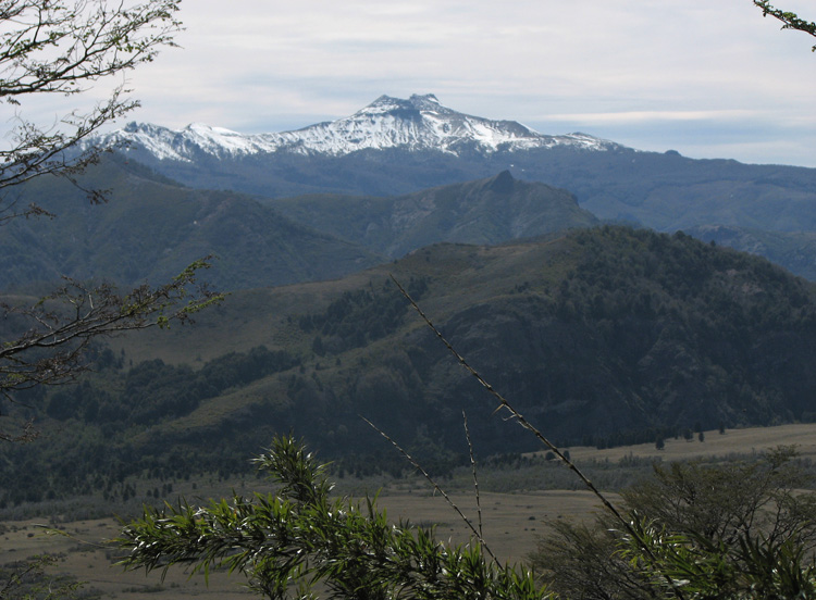
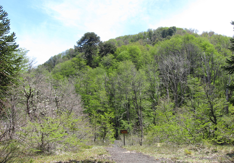
Beautiful views along our hike.
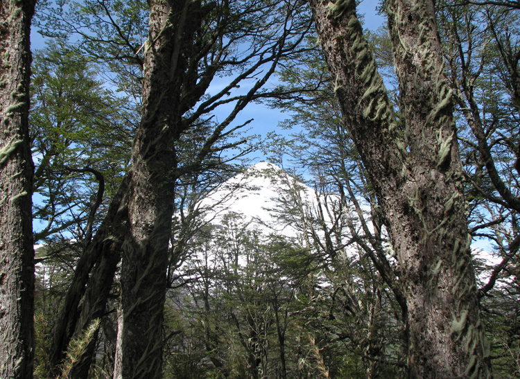
It's hard to see the volcano through the trees... hopefully the view will get better!
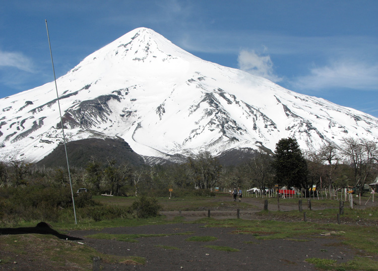
At the end of the hike we came to the lookout.
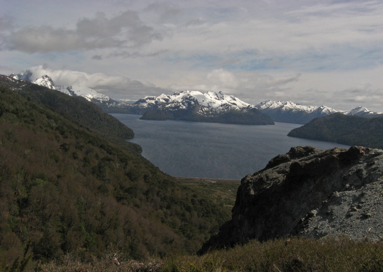
Lago Tromen.
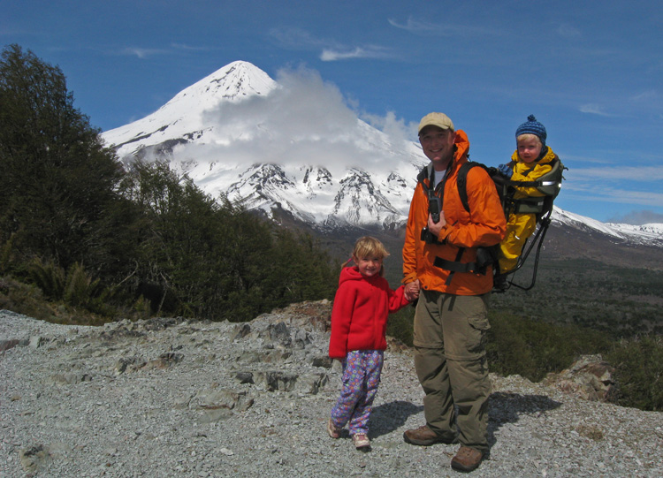
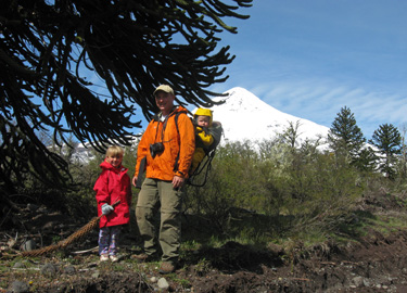
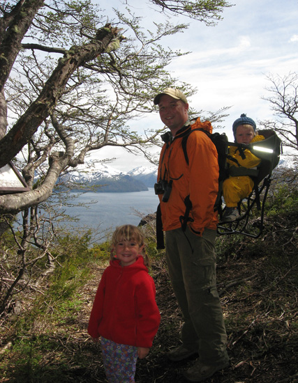
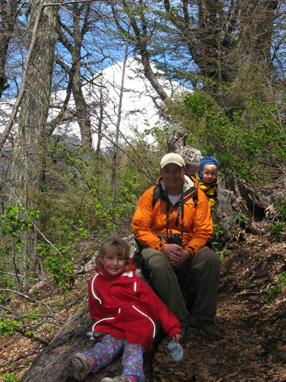
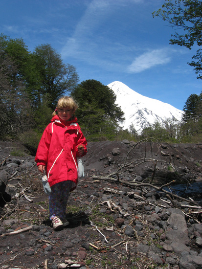
Rubby and the kids pose with the mandatory GPS photo for the earthcache.
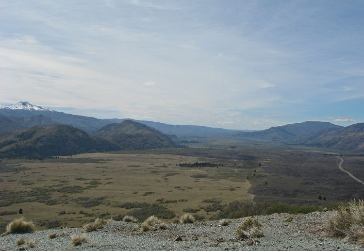
The view back over the valley through which we had come. You can see the road we took towards the right.
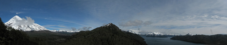
Panoramic from the lookout with the Vólcan Lanín on the left and Lago Tromen on the right.
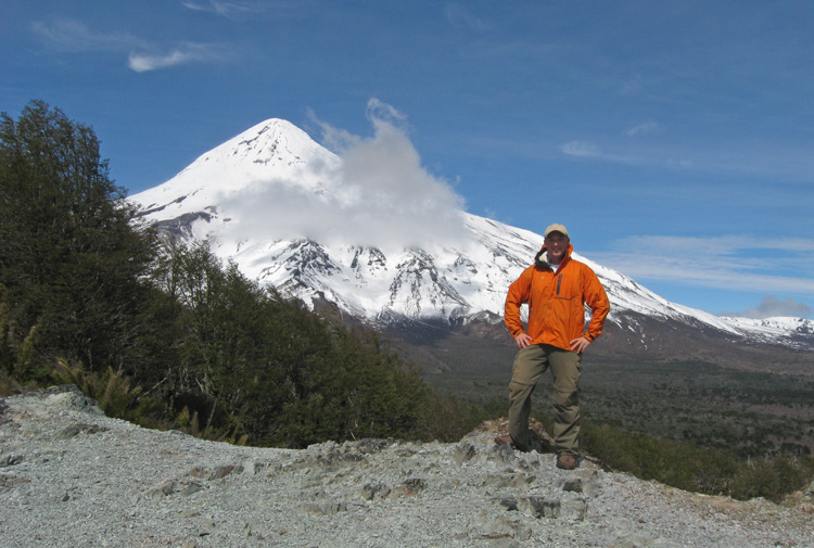
Rubby takes his turn posing with the volcano.
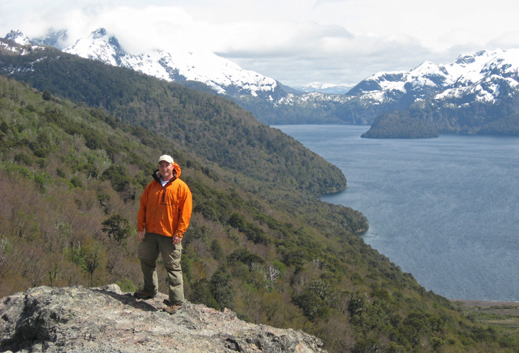
Rubby at the edge of the lookout with Lago Troman in the background.
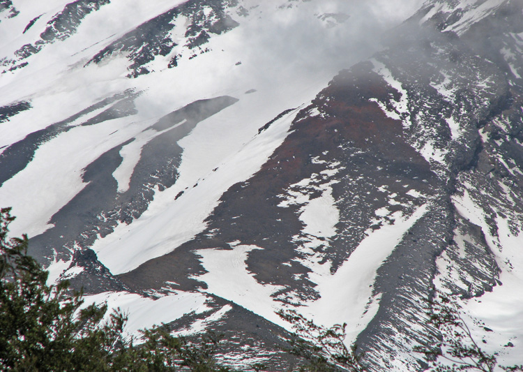
Rubby took this zoomed in photo of the slopes of the volcano
where you can see both the grey and the red colours of the rocks.
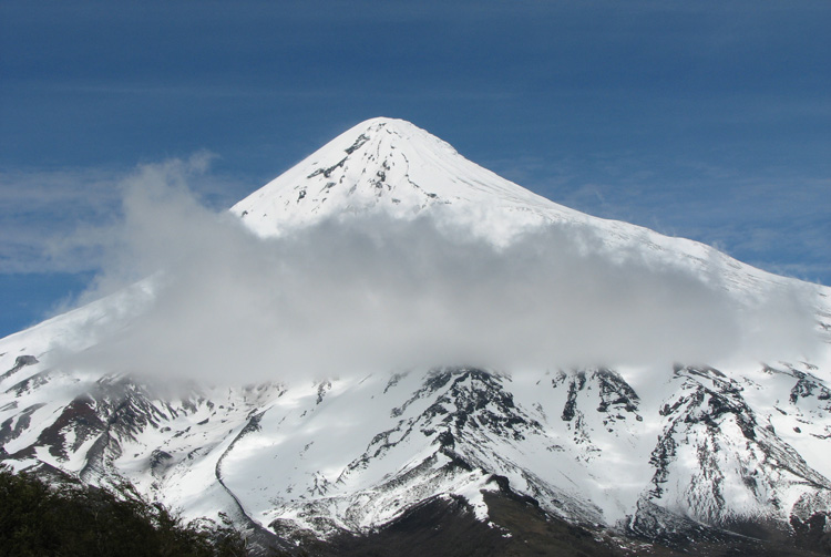
A cloud passes by but the volcano still peeks over top.
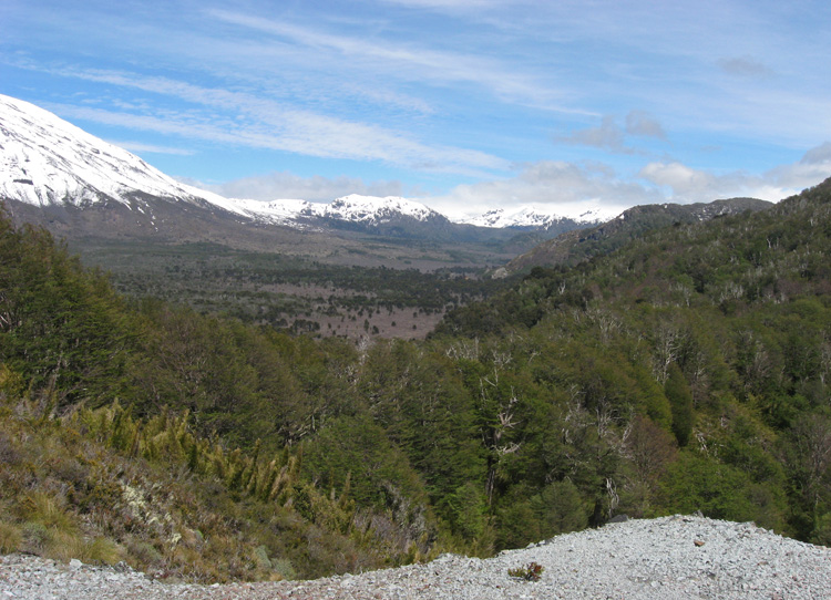
The valley as it continues west. The mountains in the background are in Chile.
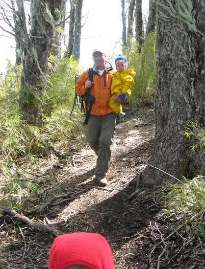
Heading back into the shelter of the woods.
Just before the lookout was a nice little spot where the sun was shining and the trees provided shelter from the wind...
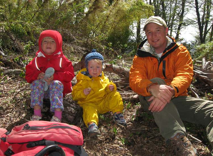
...so this is where we snacked.
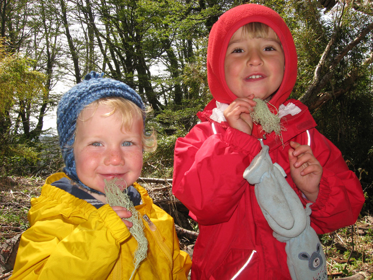
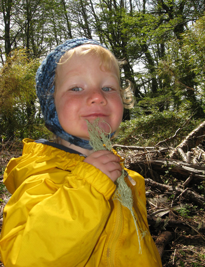
After their snacks the kids had fun pretending they were billy goats with some of the lichen they found.
Billy Goat Christopher.
On the way back down we had to stop along several fallen logs to play train.
A baby monkey puzzle tree.
Samantha looking for volcanic rocks (aka "bubble rocks") to add to her collection of treasures.
Samantha with the volcano and a giant monkey puzzle tree.
Lots of bubble rocks!
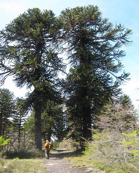
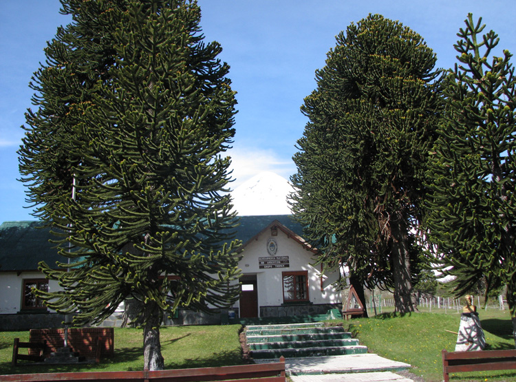
Coming back to the guardaparque area with 2 giant monkey puzzle trees along the path.
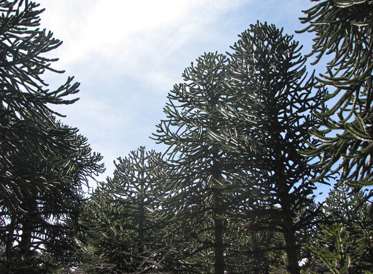
The very characteristic shapes of the monkey puzzle trees.
Christopher "fishing" next to a baby "mousey" puzzle tree.
The view back towards the hill we just climbed up.
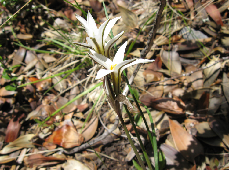
Some beautiful flowers next to the path.
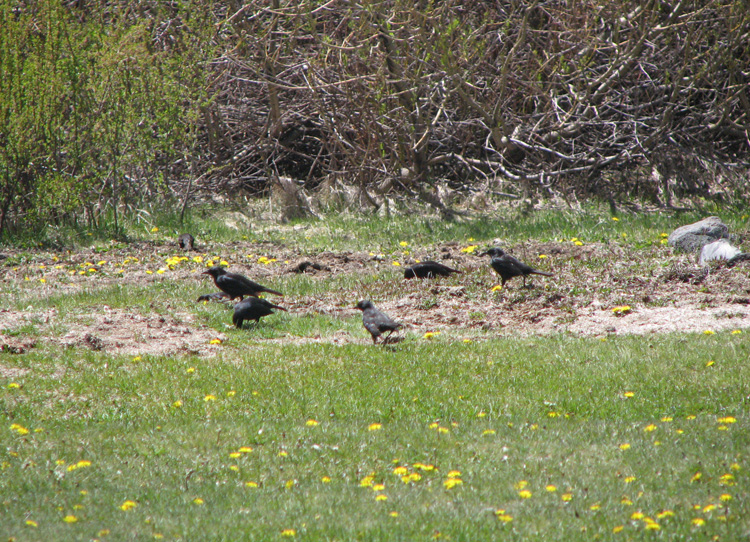
Birds.
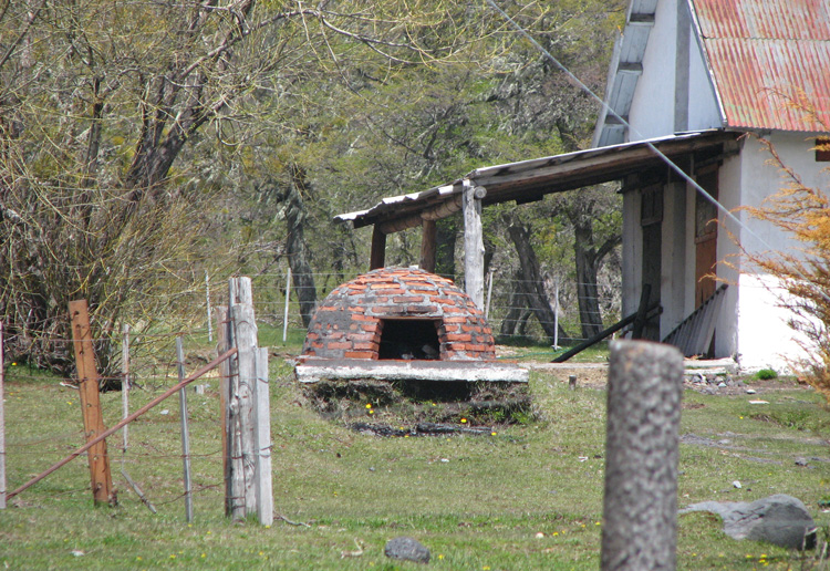
An interesting oven/fireplace by one of the buildings.
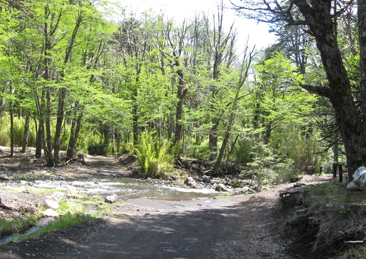
We tried driving down the road to Lago Tromen but the road was washed out.
next: The Monkey Puzzle Tree Forest »
argentina menu: