Maritimes
August 4 to 21, 2009
Aug 4: ottawa to mactaquac
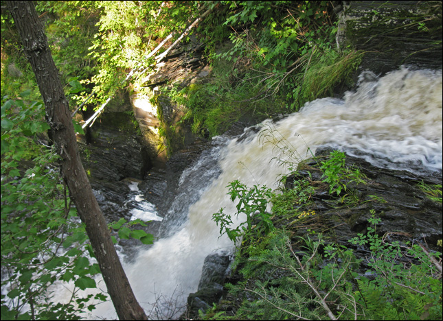
earthcache: Falls Brook Falls
This earthcache will take you to a unique wilderness waterfall. This cache is deep in the forest of northwest New Brunswick.
The falls is formed due to the excavation of a fault zone. The fault is formed in shale and it has been broken in two directions leaving a unique type of rock called pencil shale due to the formation of pencil sized sections often as long as a meter.
Shale is a fine-grained sedimentary rock whose original constituents were clay minerals or muds. It is characterized by thin laminate breaking with an irregular curving fracture, often splintery and usually parallel to the often-indistinguishable bedding plane. This property is called fissility. Non-fissile rocks of similar composition but made of particles smaller than 1/16 mm being described as mudstones. Rocks with similar particle sizes but with less clay and therefore grittier are siltstones. Shale is the most common sedimentary rock. This pencil shale is often used in this area to make woods roads. On the ride to this cache you have passed a number of shale pits that were used to make the roads you are driving on.

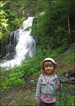
stopping to do an earthcache
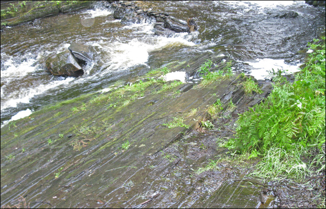
hard to tell in this photo, but the rock formation was very interesting
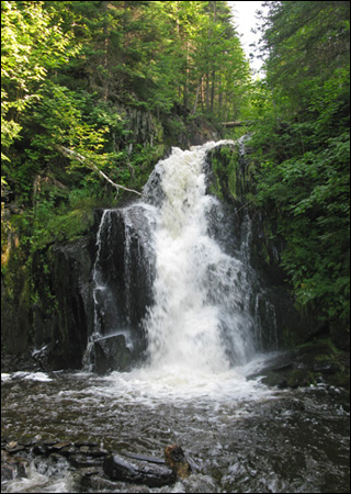
the waterfall and rocky cliff
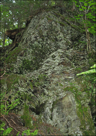
view from the top.
<< the drive | aug 4 intro | mactaquac provincial park >>
| trip navigation - choose a day: |
| [ back to main trip page ] |