Fundy National Park
May 21-25, 2010
may 23, 2010: fundy national park
what's up doc?
This was the fourth of the 5 geocaches we found in order to complete the 2010 fundy challenge. This was the most challenging cache out of the 5. due to a lack of time before the event finished, I volunteered to jog the 9km while the rest of the team have a snack break. Going to the cache was easy going, there was a slight downhill the entire way (and a big drop right at the end). The job back was a bit more painful.
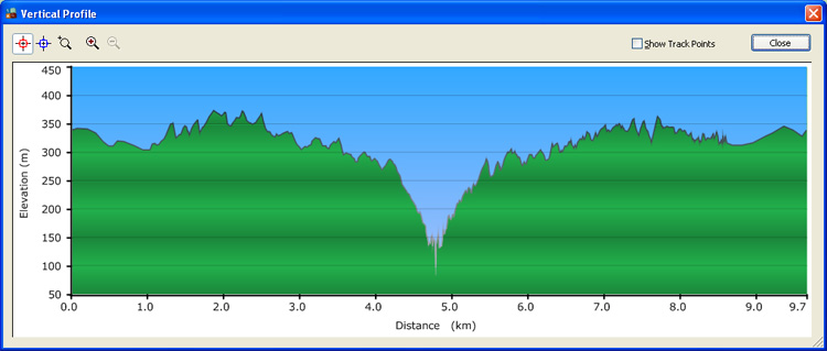
this is the elevation profile of my hike. a more than 200m vertical difference.
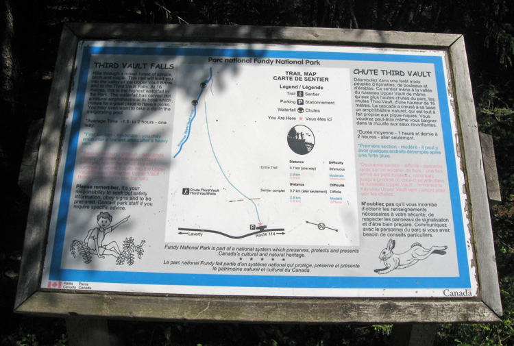
map of the trail.

the waterfall right near the cache.
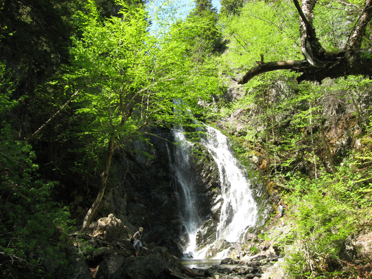
there are a coupl eof people in this photo (to give you scale)
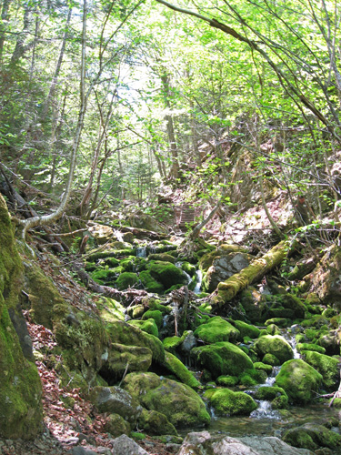
lots of mossy creeks.
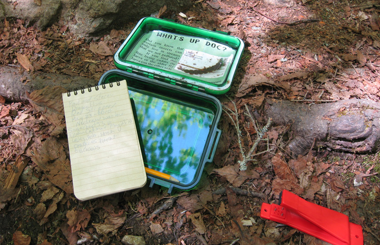
the cache!

front of the information card

back of the information card
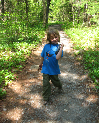
sam and grandpa started to head in to meet up with me.
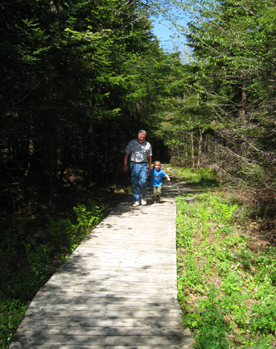
we all hiked out together.
next: sam's photos »
menu
|