Fundy National Park
May 21-25, 2010
may 22, 2010: fredericton - fundy
drive to fundy & lunch break
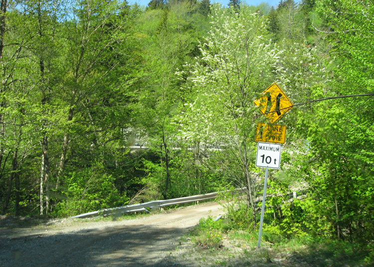
a one laner bridge.... we're less than 10 tons.. right?
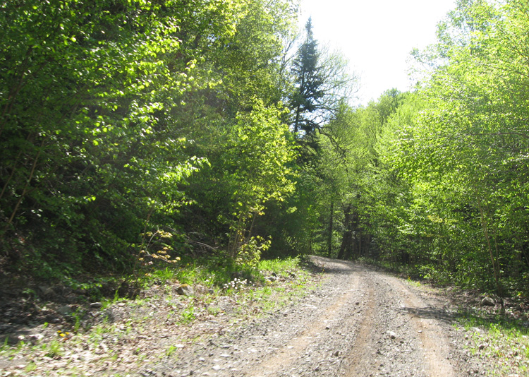
after doing the earthcache, we decided to follow the suggested route to fundy provided by the gps
it wasn't the best of roads, but it was definately shorter that having turned back.
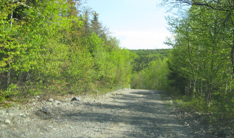
unfortunately, at one point, the road turned into a skidoo trail, so we ended having to turn back :(
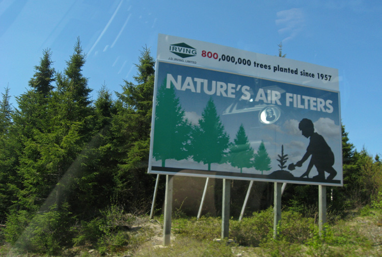
what we would do without Irving! :P
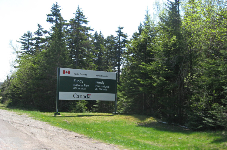
we've arrived at funday national park!
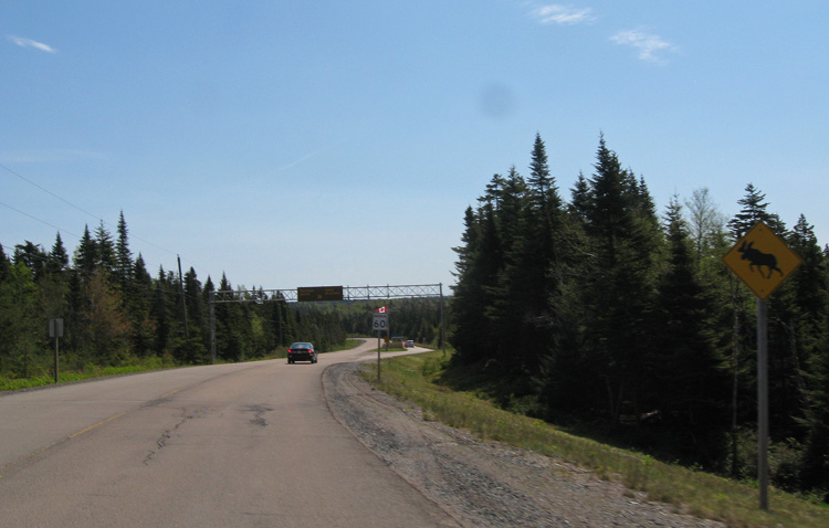
what out for moose! (and we don't mean grandpa)
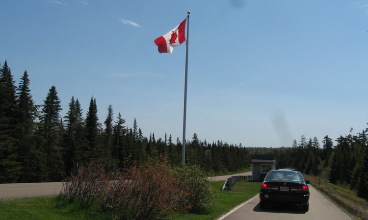
popular place this weekend.... we wait in line to get our pass
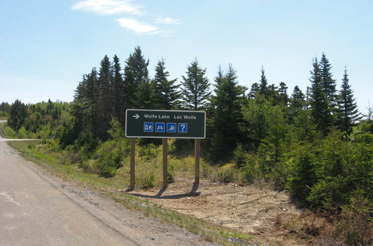
once we got our pass, we stop in at wolf lake to have lunch
... and grab a geocache at the same time!
although a nice place... we decided that the harsh cold wind coming off the lake wouldn't make for a pleasant picnic location, so we drove to another spot instead.
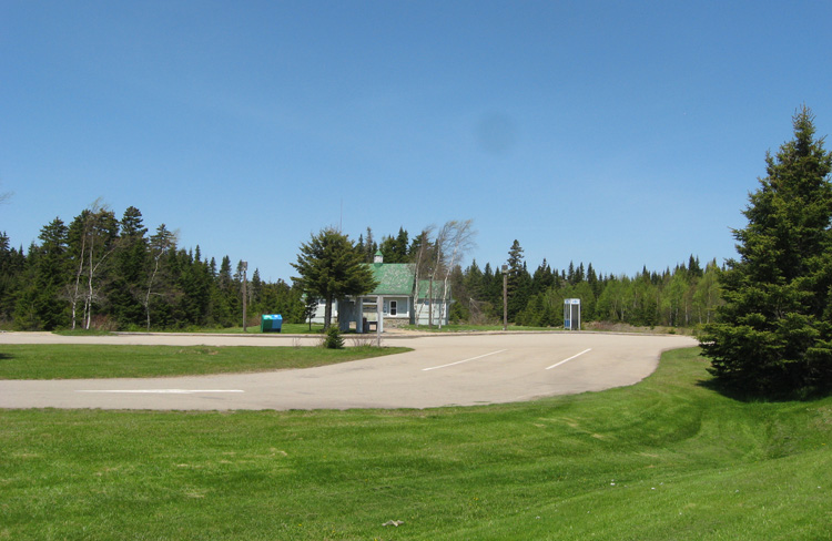
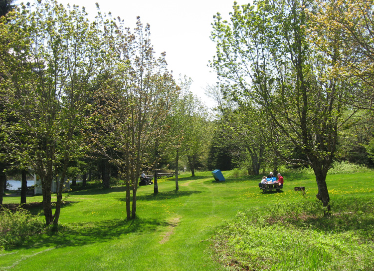
bennett lake... much more protected from the winds.
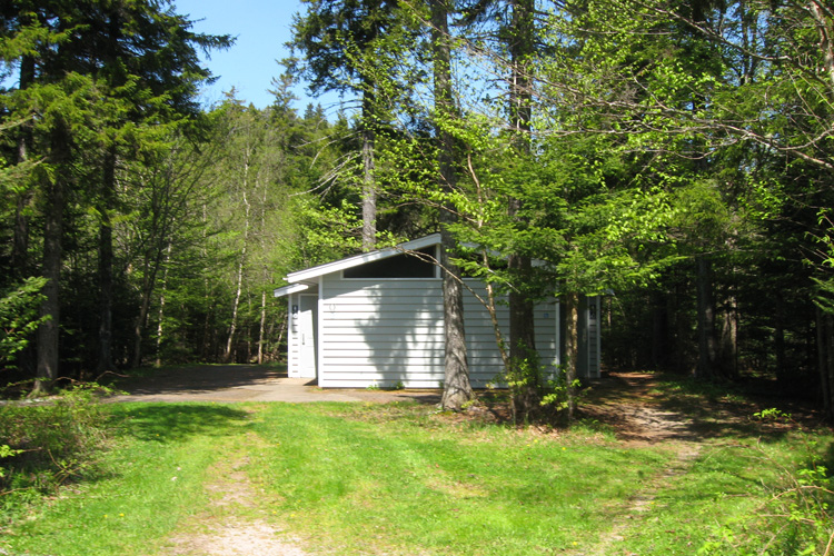
and bathrooms too!
no one else around... except the noisy guy mowing the lawn.
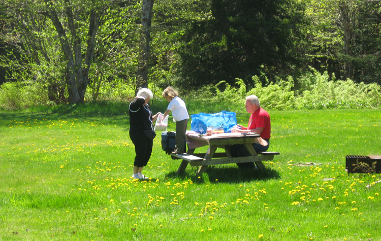
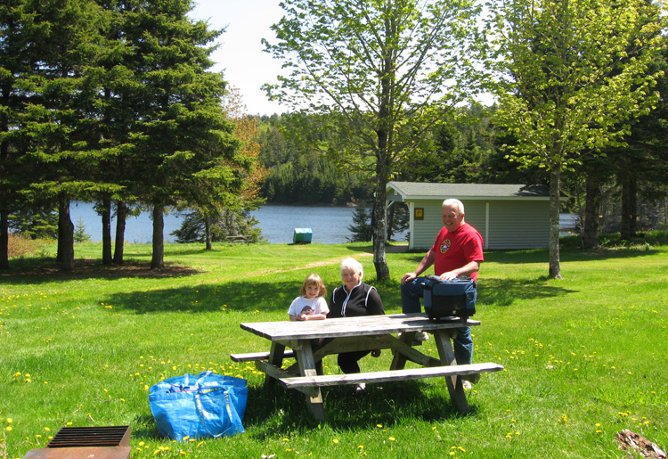
lunch time!
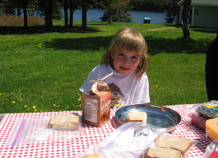
yummy!
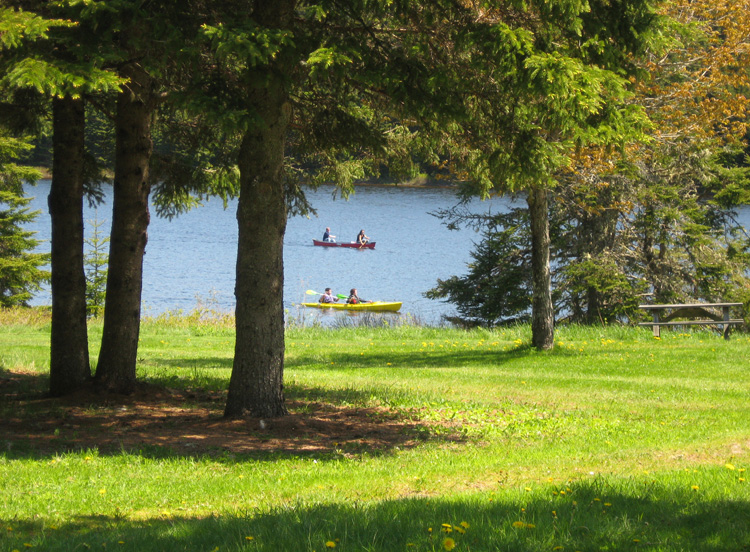
people out on canoe and kayak.
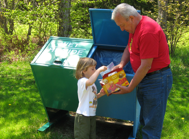
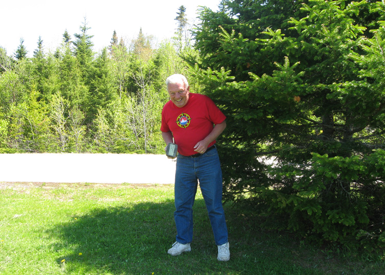
sam teaches grandpa about the difference between the green and blue boxes.
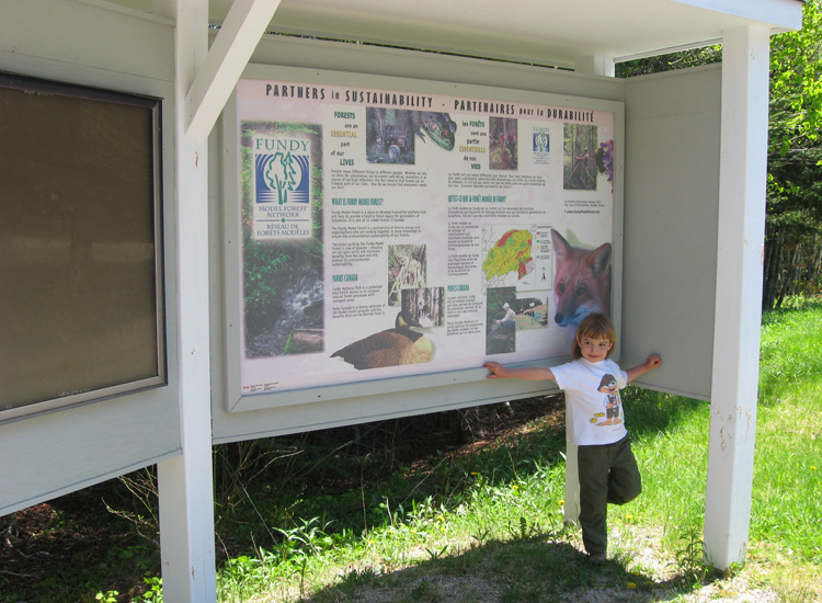
reading the info sign, and then off to do a hike.
next: caribou plain trail »
menu leaving from louise & pierre's place trout brook rock formation (eathcache)
|