Fundy National Park
May 21-25, 2010
may 25, 2010: Ste-Anne-de-Beaupré - home
unconformity & montmorency river (earthcaches)
extract from the "unconformity" earthcahce description:
"An unconformity is an erosion surface separating undeformed sedimentary rocks from an older deformed rock substratum. An unconformity indicates that sediment deposition was not continuous. In fact, the older rocks were exposed to erosion for some time before deposition of the younger rocks happened.
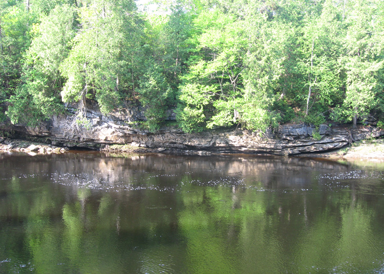
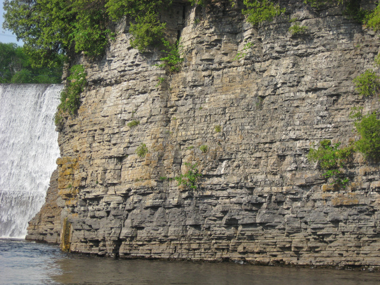
On the cliff forming the bank of the river, you can see that the Saint-Lawrence Lowlands limestones cover the Canadian Shield granites. The unconformity is the irregular surface separating the two types of rocks."
extract from "The montmorency river" earthcache:
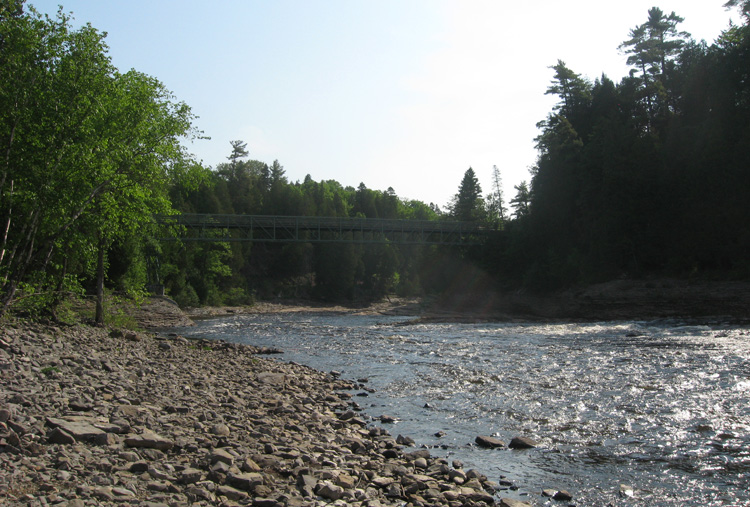
"The Montmorency River is the seat of geological formations that make its beauty and attract speleologists, hikers, tourists and ...geocachers! It has a drainage basin of approximately 1 100 km2 located on the Canadian Shield. From the pedestrian bridge (46°53.443'N 71°8.867'W), you are almost exactly above the Montmorency fault and the river becomes a fall. With 83 meters (272 feet) high, the renowned Montmorency Fall is the highest fall in Quebec and is 30 metres (98 feet) higher than the Niagara Falls that still have the significant height of 53 metres (174 ft)."
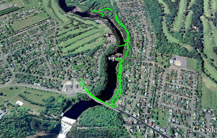
our hiking tracks
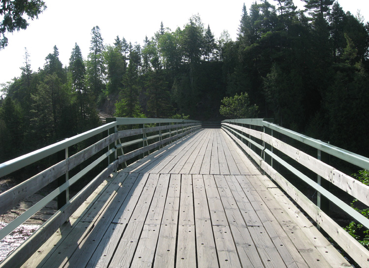
the view from the bridge we crossed to reach the trailhead.
taking a shortcut instead of going around
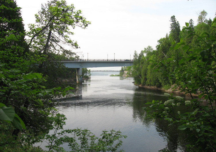
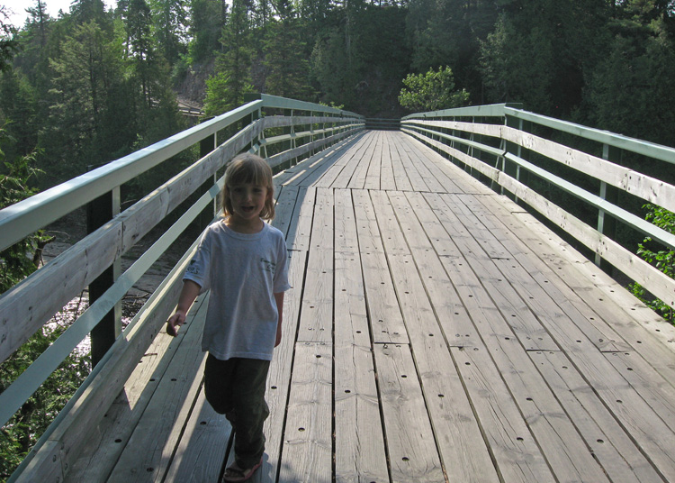
this is the bridge we crossed earlier
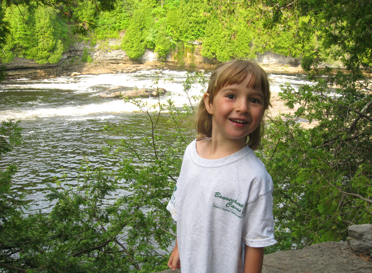
sam enjoys the little lookouts
and poses with the gps at one of them.
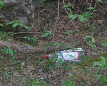
liquor bottles & pants on the ground... must have been a good party.
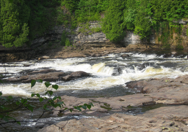
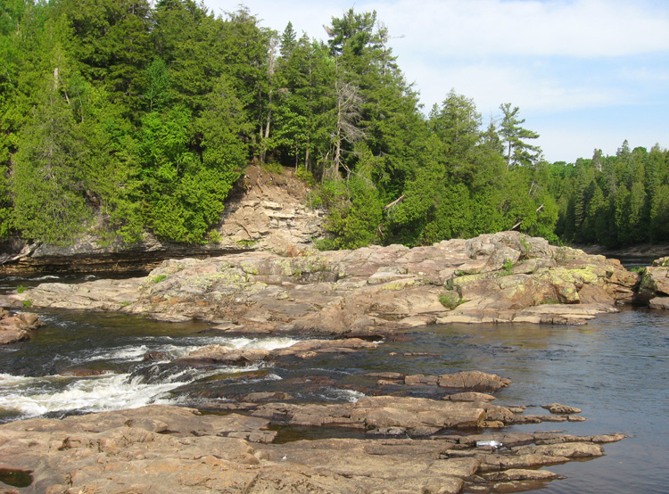
the water flows over the granite and the "cliffs" are limestone
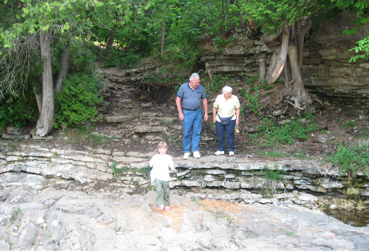
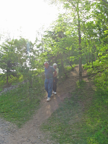
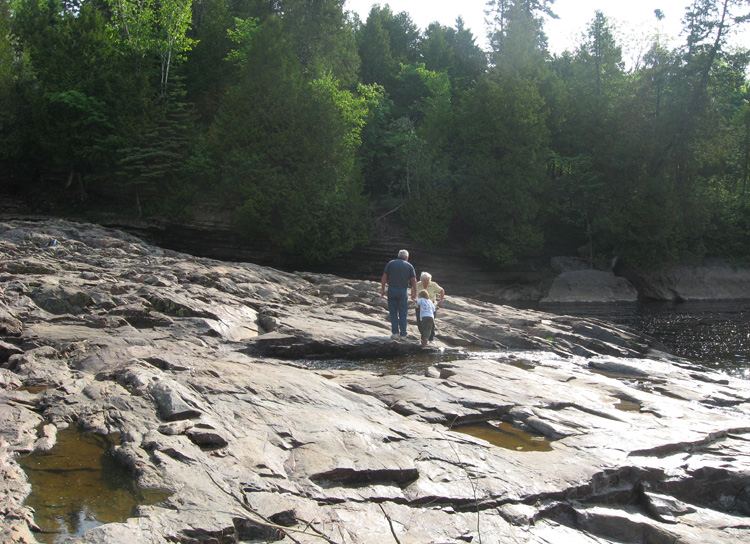
sammy hops down while grandma looks for an easier way.
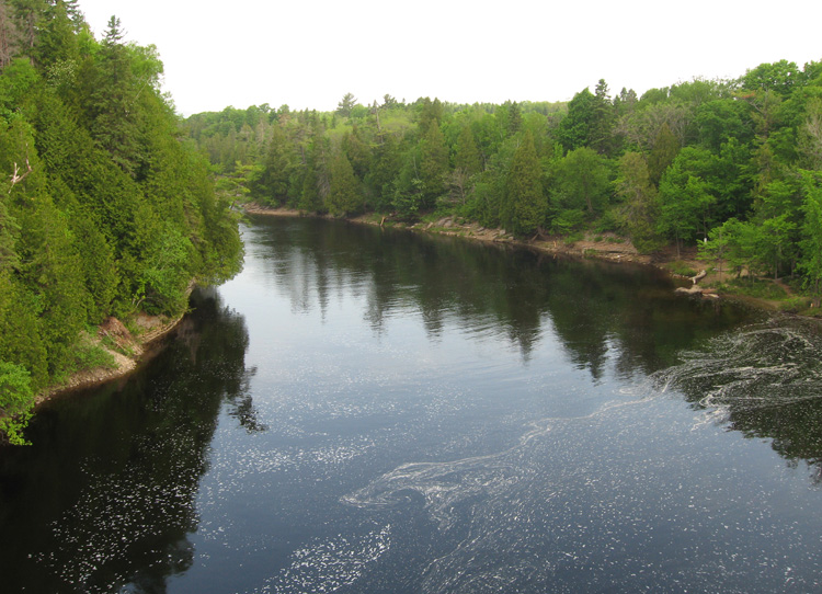
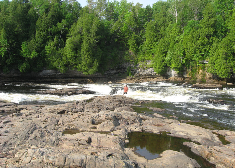
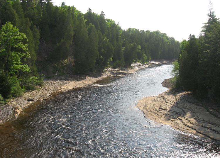
a view upstream
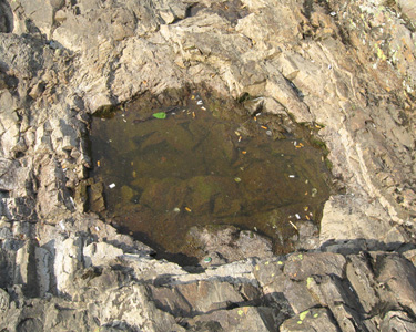
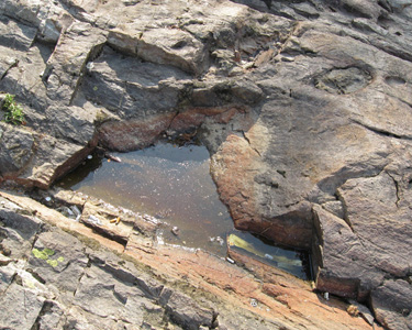
potholes
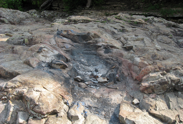
this pot hole was used as a fire pit.
pretty location
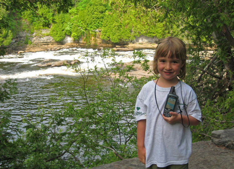
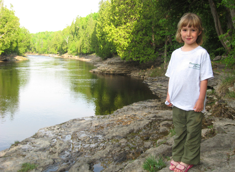
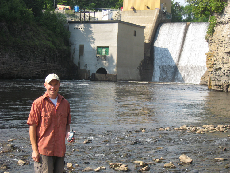
me posing with the gps & river.
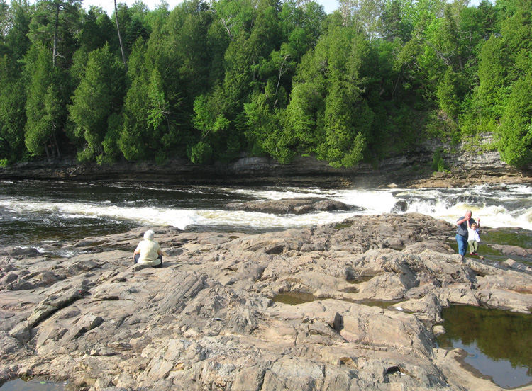
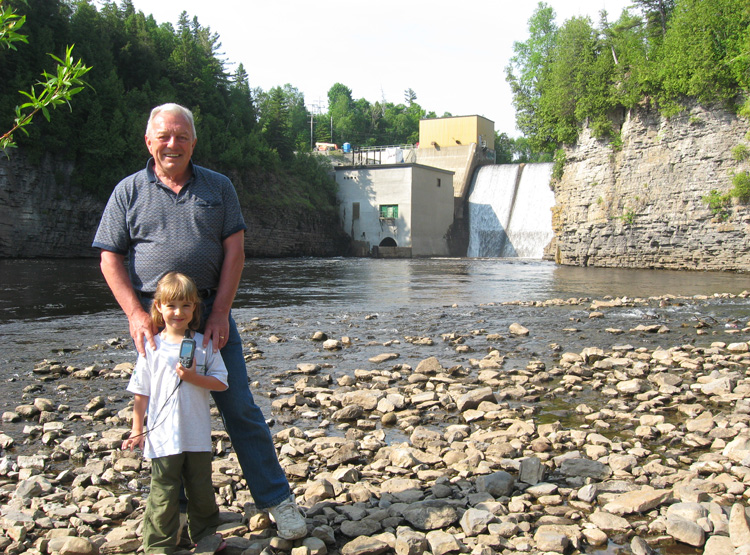
grandma watches the river while sammy goofs around wwith grandpa
a fun place to explore
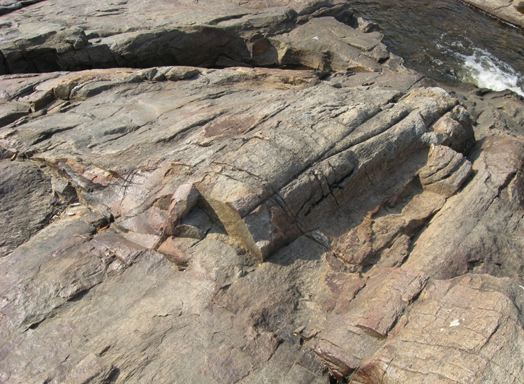
close up of the rock
granite & limestone
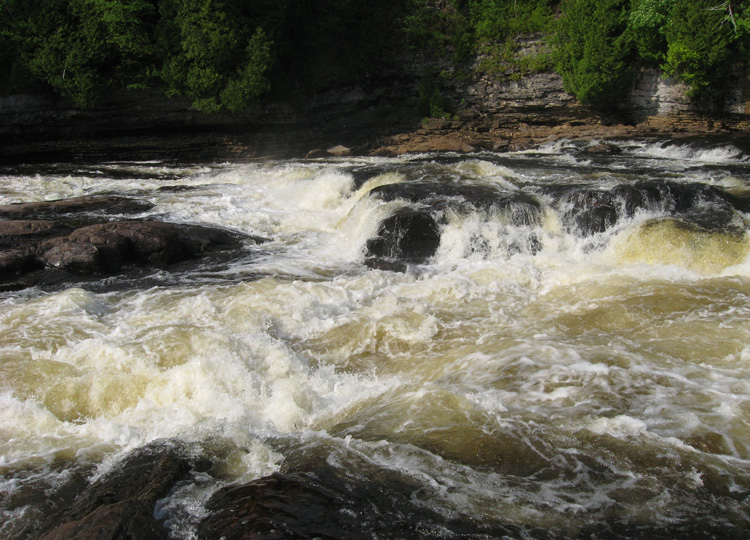
a close up of the water
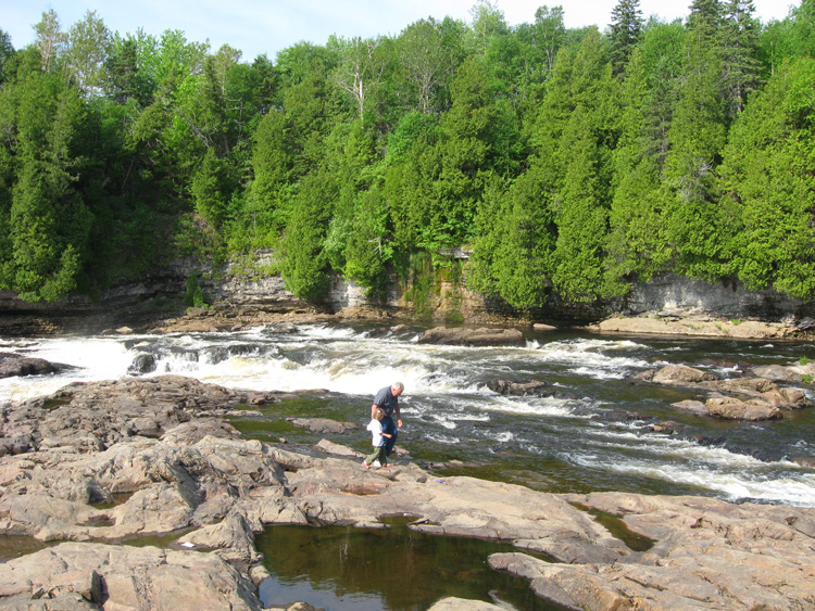
play time is over... time to continue our hike.
a look back from on of them many lookouts
the water looks refreshing on a hot day like today.
sammy posing at the next little lookout spot
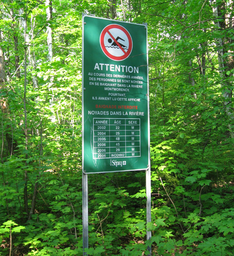
a sign warning about swimming (and listing the deaths)
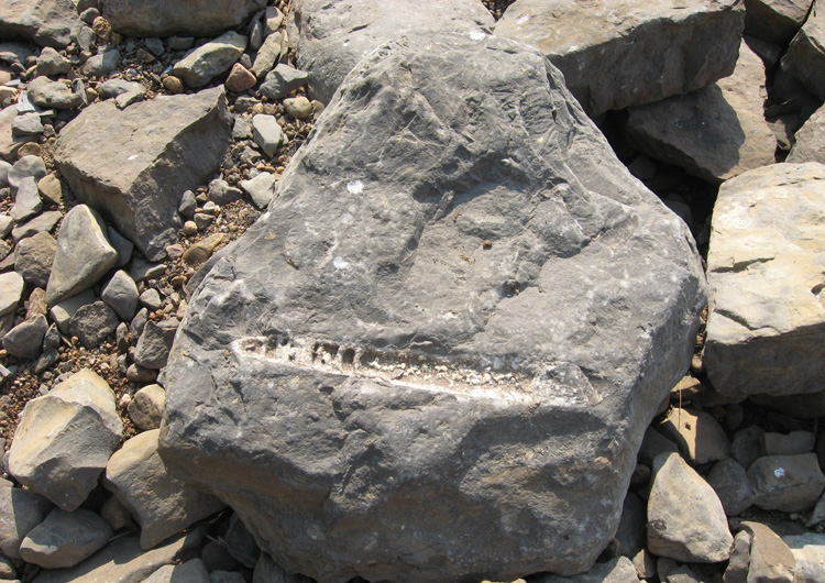
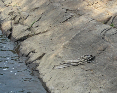
a fossil?
the mandatory earthcache photo
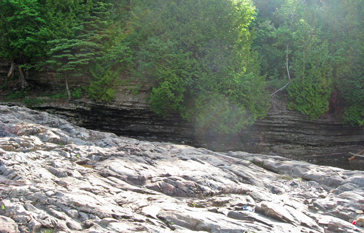
the rock cliff
my turn to get my photo
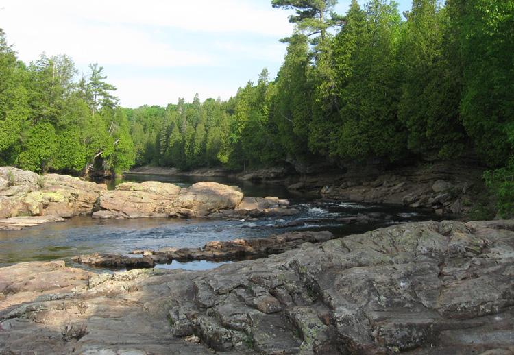
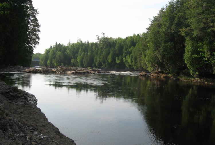
the view downstream
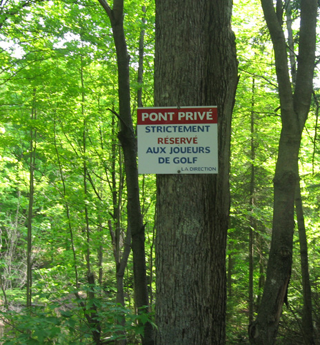
private bridge for golfers only...
no golf carts around, so we go check out the view from the bridge
the view one way...
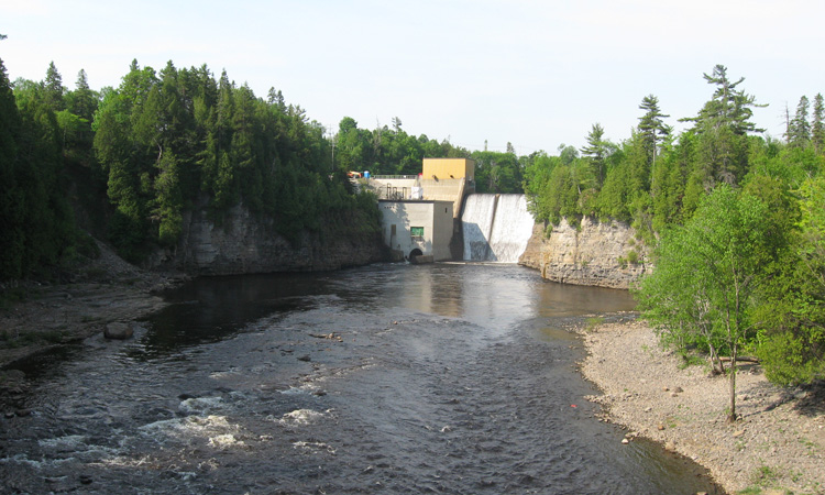
...and the other way
now we start to head back to the car.
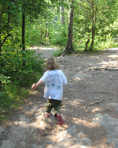
sam has lots of energy
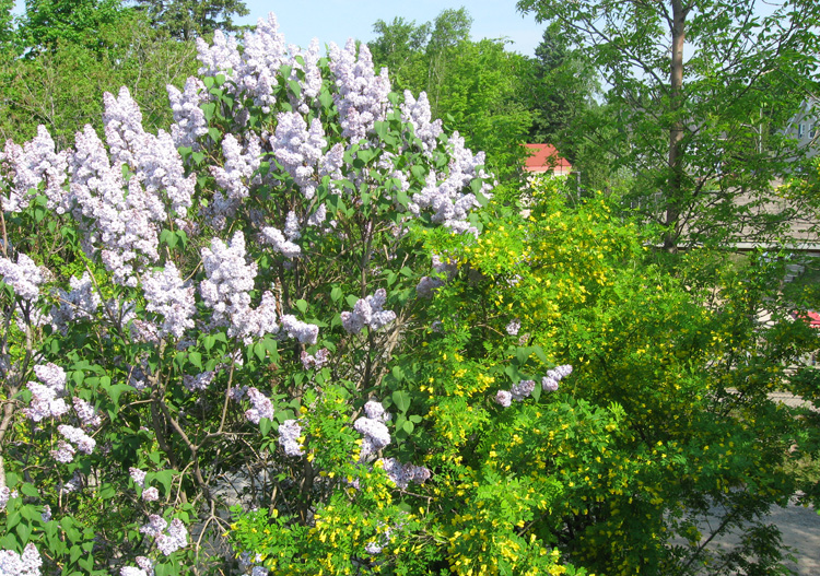
lilac are in bloom
next: montmorency fall (earthcache) »
menu unconformity & montmorency river (earthcaches)
|