Fundy National Park
May 21-25, 2010
olistostrome
earthcache description:
"If you look southward you will see a particular rocky wall. The rock in this place was folded by the movements of the earth's crust. But folds are really particular or anarchic. What happened?
In this place, the geological province is composed of schist with block. Schists are characterized by thin laminae breaking with an irregular curving fracture. This geological province has the form of a "boomerang" and goes towards St-Lambert-de-Lauzon. It measures 5 km by 30 km. But the particular aspect of this wall is owed to an olistostrome. An olistostrome is a sedimentary deposit composed of a chaotic mass of heterogeneous material, such as blocks and mud, that accumulates as a semifluid body by submarine gravity sliding or slumping of the unconsolidated sediments. It is a mappable statigraphic unit which lacks true bedding, but is intercalated amongst normal bedding sequences, as in the Tertiary basin of central Sicily.
Olistostromes are mélanges formed by gravitational sliding under water and accumulation of flow as a semi fluid body with no bedding.
In the case of this rocky wall, movements were probably caused by the Logan fault.
You can see several geological folds on this wall. The term fold is used in geology when one or a stack of originally flat and planar surfaces, such as sedimentary strata, are bent or curved as a result of plastic (i.e. permanent) deformation. Synsedimentary folds are those due to slumping of material before deformation. Folds in rocks vary in size from microscopic crinkles to mountain-sized folds. They occur singly as isolated folds and in extensive fold trains of different sizes, on a variety of scales. Folds form under varied conditions of stress, hydrostatic pressure, pore pressure, and temperature - hydrothermal gradient, as evidenced by their presence in soft sediments, the full spectrum of metamorphic rocks, and even as primary flow structures in some igneous rocks. A set of folds distributed on a regional scale constitutes a fold belt, a common feature of orogenic zones.
The folds are classified according to their form, if they are straight, symmetrical, tipped up, very tipped up, etc. The complexity of pleated forms is at the origin of a heavy classification."
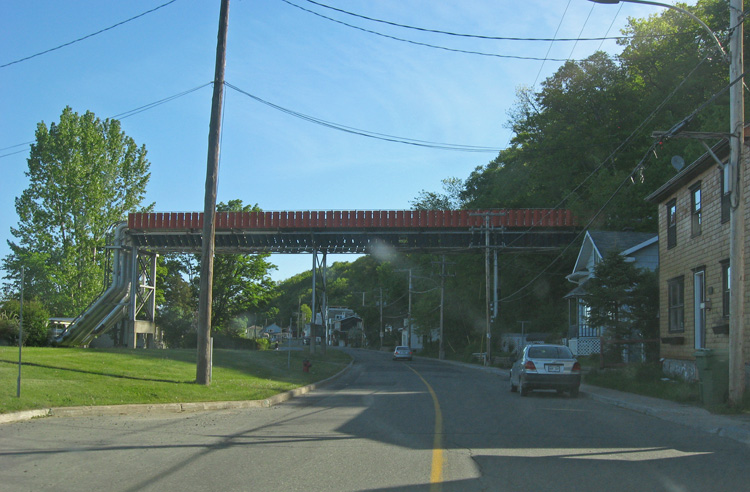
stream pipes going over the road.
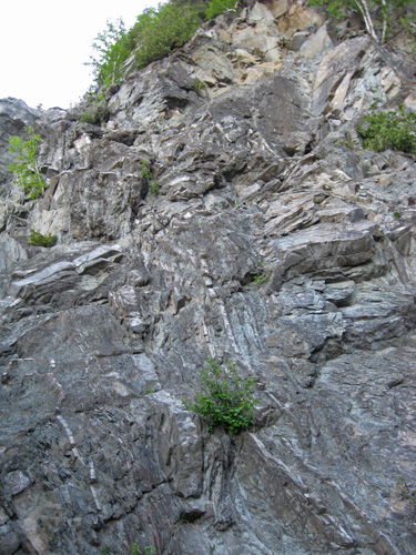
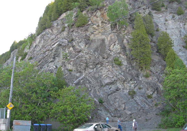
the rock folds are chaotic here

mandatory photo
the view in the other direction was nice also.
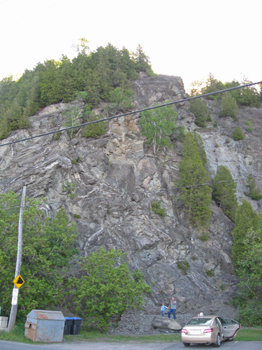
an overview og the rock cliff
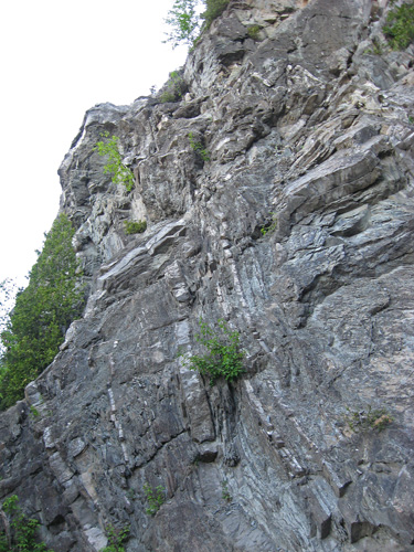
a little closer view (so you can see the rocks deformations)
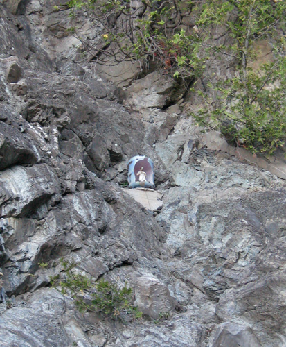
a little religious statue placed in the cliff side.
one last photo
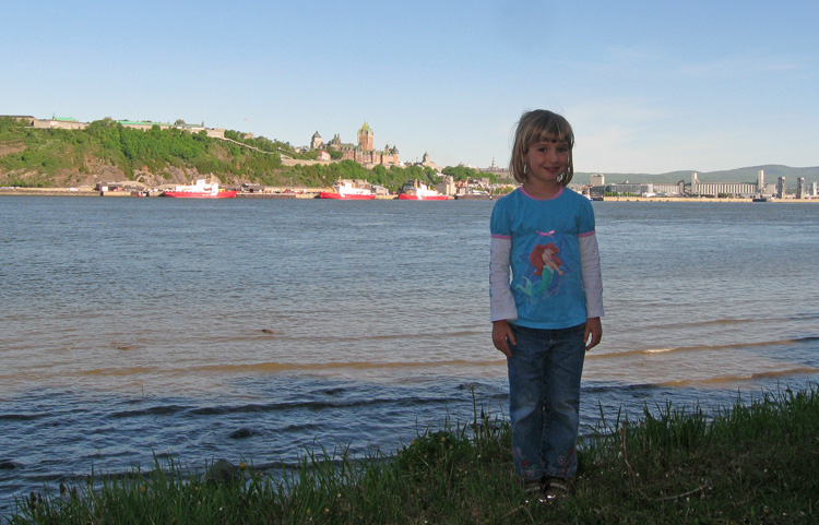
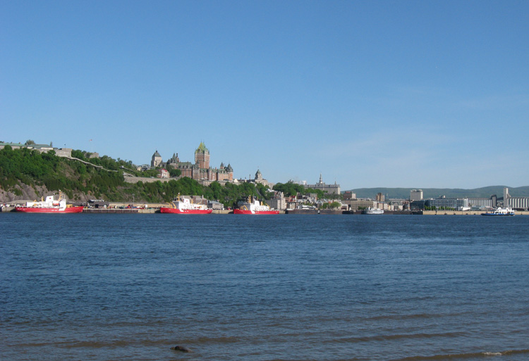
sam poses with the "chateau" in the background.
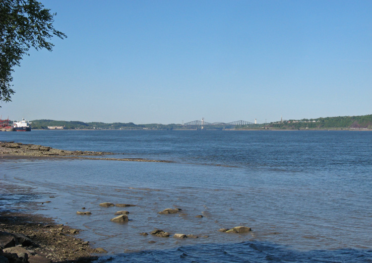
and the view up the river.
next: armagh river and falls (earthcache) »
menu earthcache: supper at suzanne & roland's place
|