Fundy National Park
May 21-25, 2010
armagh river and falls
partial earthcache description:
"In this park, the river runs through waterfalls and a fall from a height of 20 meters high to which different paths lead you there.
From its source to its mouth, the river has a length of about 22 km and an altitude of 200 meters. In times of flood and heavy rains, the Armagh river becomes wild and tumultuous as it has in his head a very large slope.
The Armagh Falls Park is constructed and maintained since 2001. You'll find well-defined trails that allow you to discover this place of great beauty. One of these trails cross the bridge 70 meters long, built in 1907 for the railway. A large parking is available (N46 43,637 W70 33,594) and also a pavilion with facilities.. From this site, you will also have access to the Bellechasse bicycle path that has a length of 74 km which has supplanted the old railway. In winter, it is possible to snowshoeing and snowmobiling."
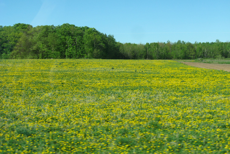
on our drive to the next earthcache, we past lots of fields of dandelions...
maybe they are going to make jam commercially?
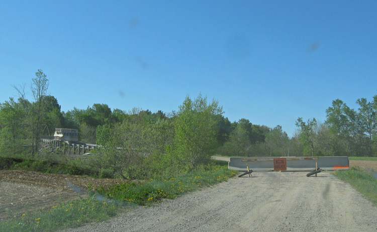
hmmm... this doesn't look good.
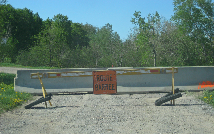
road closed!
and just in case you decided to sneak around the first road block... there is a second one!
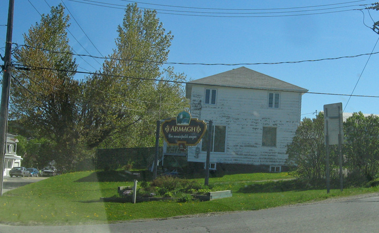
the town of armagh
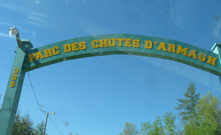
we arrive!

we arrived around 9:30am... the place was supposed to be open at 9:00am.
thankfully the staff member arrive a couple minutes after us to let us in.
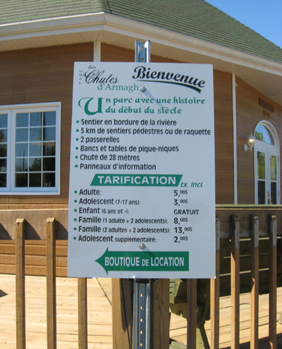
it was not a free park.
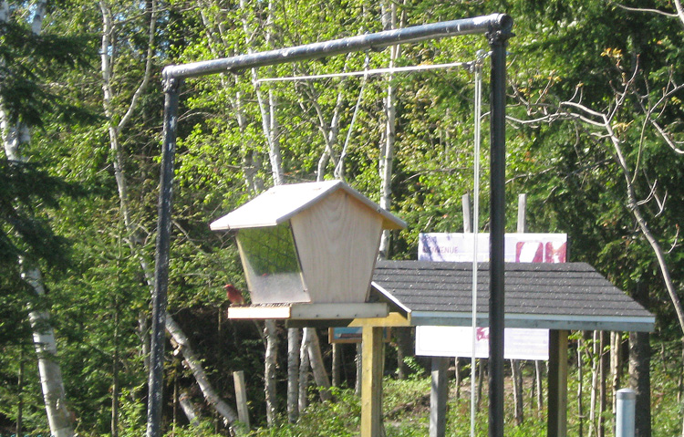
a little red bird having breakfast.
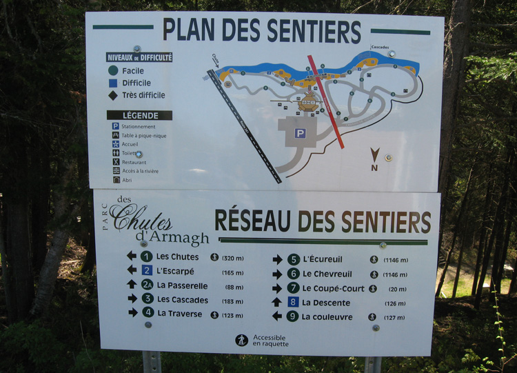
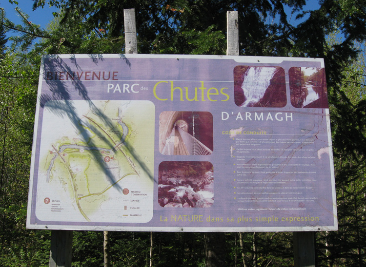
a map of the paths.
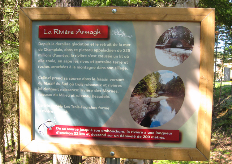
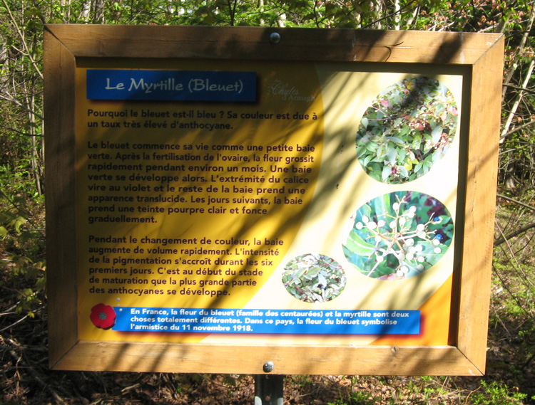
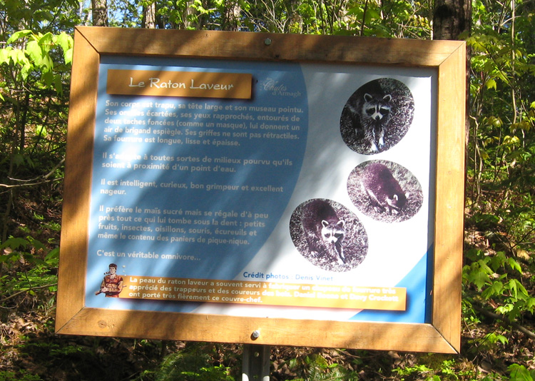
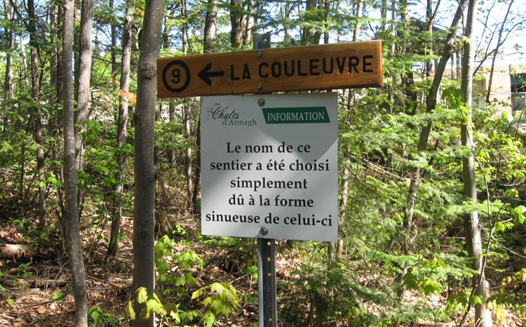
info sign along the path
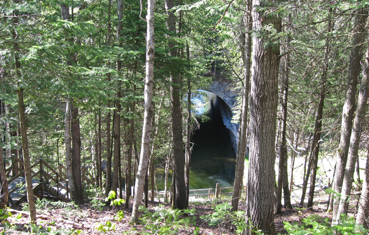
a view of the tunnel from the top path.
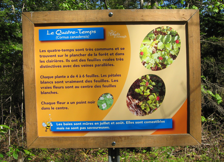
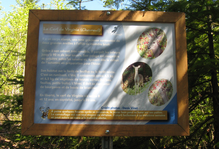
info sign along the path
info sign along the path
info sign along the path
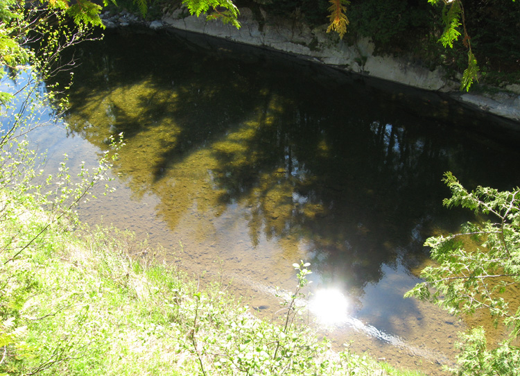
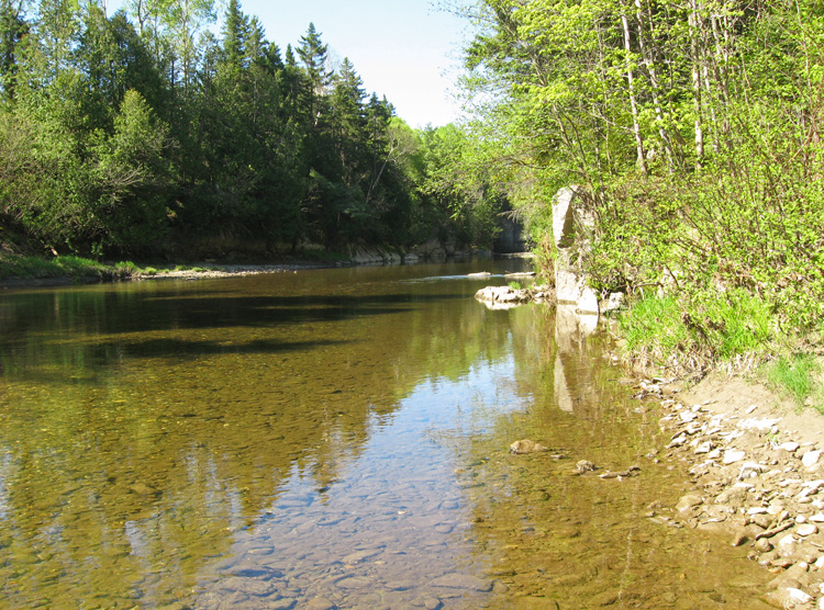
the water was so calm it looked like it wasn't moving.
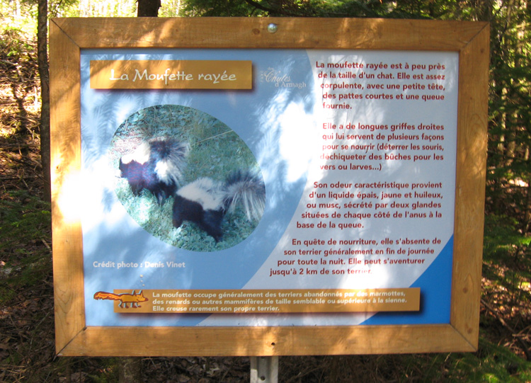
info sign along the path
info sign along the path
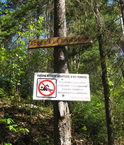
although it may look calm... it was not safe to swim in.
another path
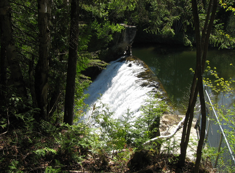
arriving at the falls.
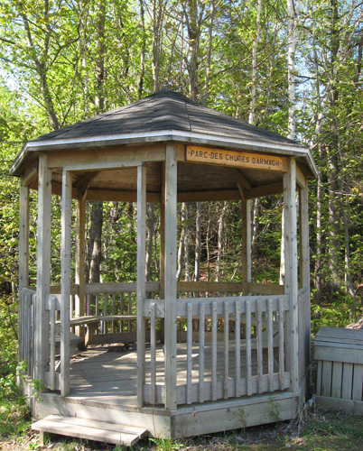
a little gazebo to rest at
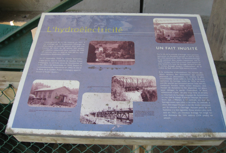
info sign along the path
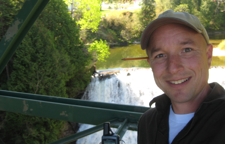
mandatory earthcache photo.
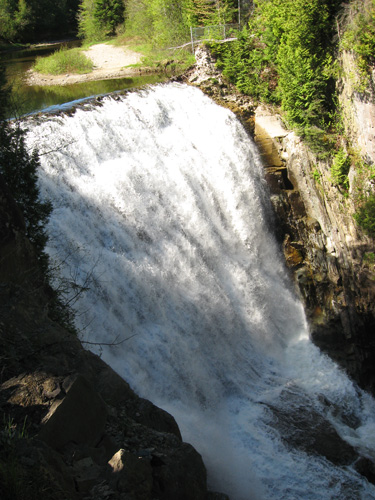
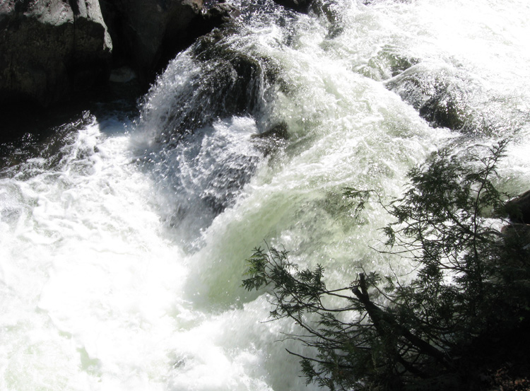
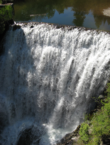
the falls.
heading back... along the lower path
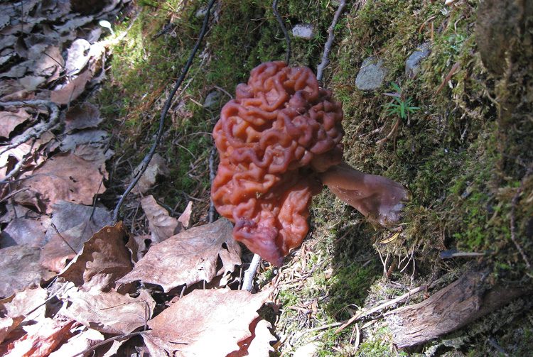
mushrroom!
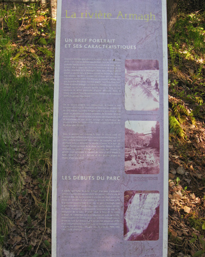
info sign along the path
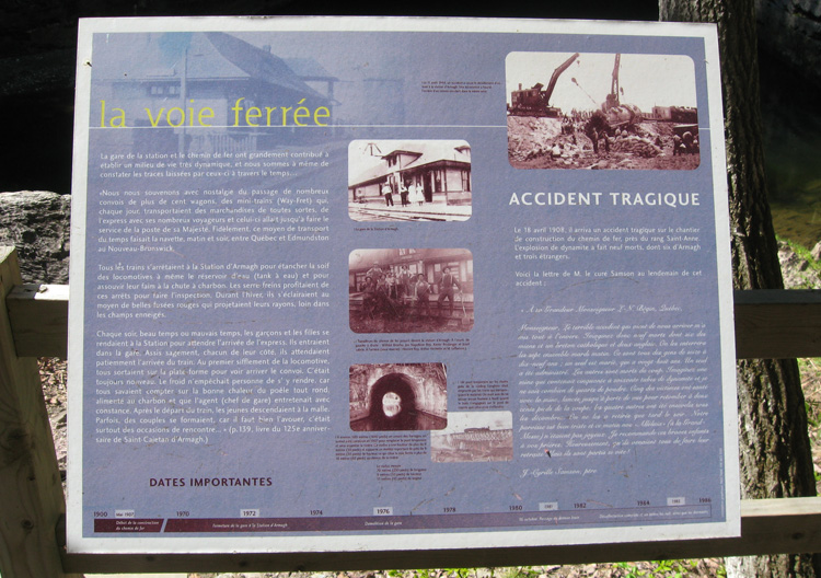
info sign along the path
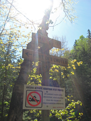
which way to go?
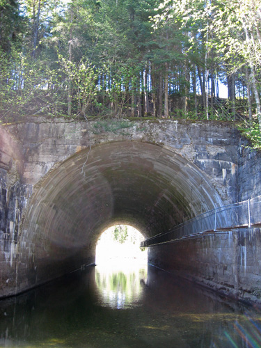
coming up to the tunnel.
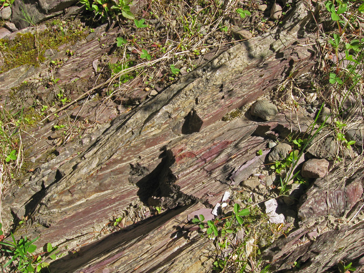
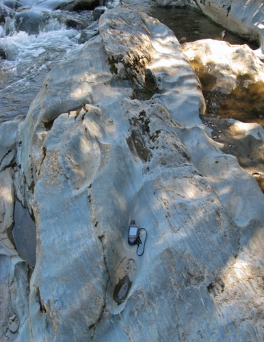
checking out the rocks.
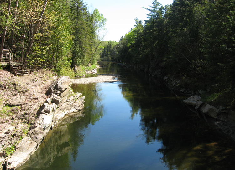
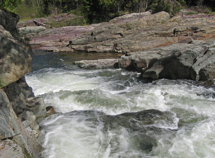
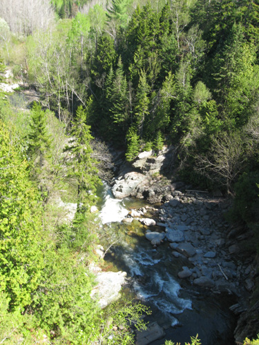
a view downstream
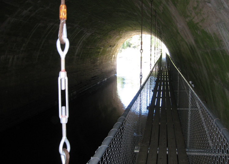
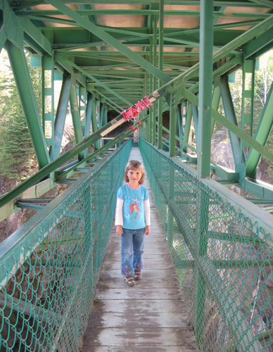
a suspended boardwalk through the tunnel.
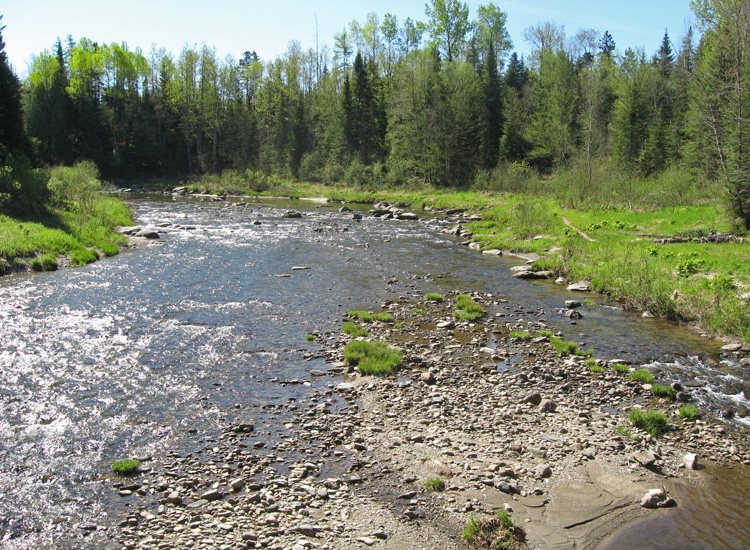
the view of the river once you go through the tunnel.
waymarking some of the potholes in the rocks.

interesting erosion pattern
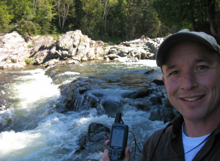
another photo for the earthcache.
a close up of the mini falls.
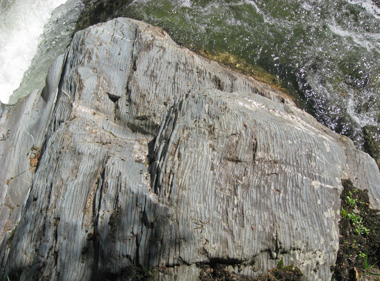
interesting rock.
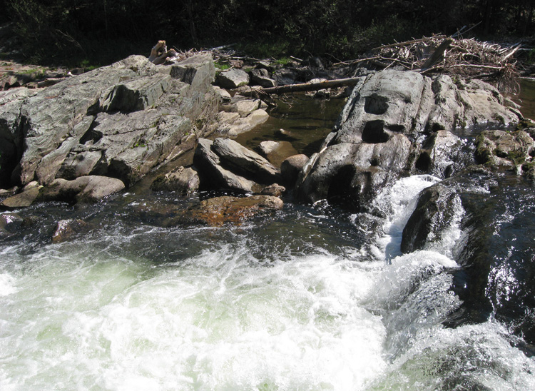
more potholes.
a view from the top of the mini falls.
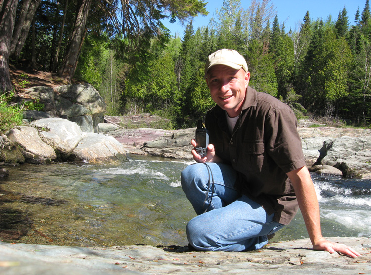
one last photo for the earthcache.
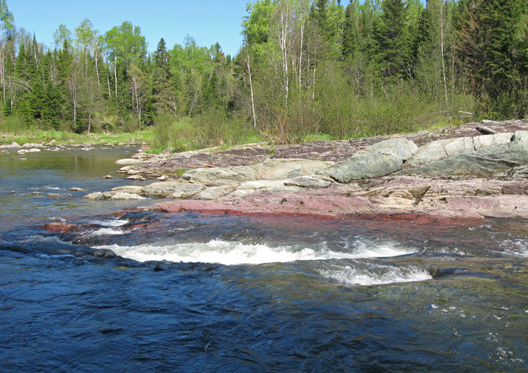
nice reddish rocks.

the view of the tunnel from the mini-falls.
info sign along the path
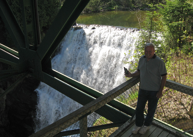
grandpa at the falls
sam at the falls.

grandma & sam at the falls.
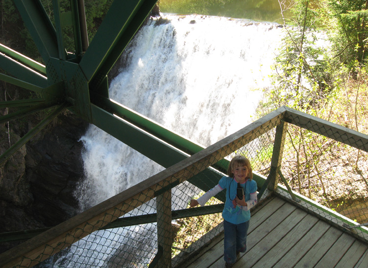
sam had to try out the boardwalk.
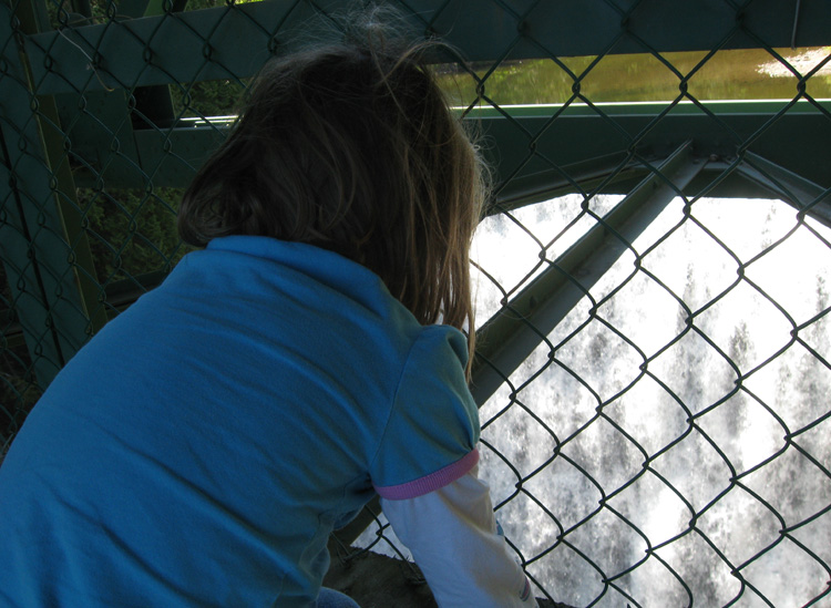
sam takes a long look at the falls.
lots of water, considering the river doesn't look like it was moving
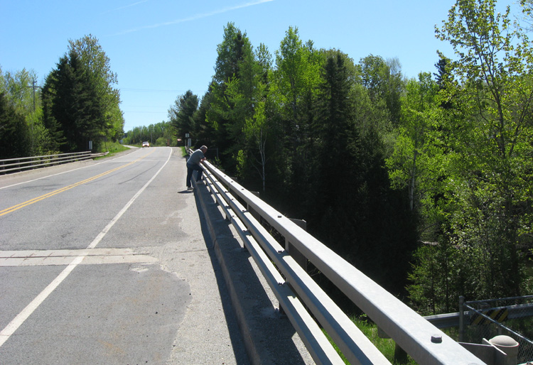
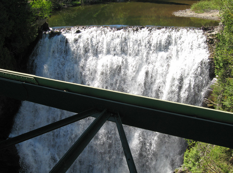
grandpa checks out the falls from the road.
and this is what he sees.
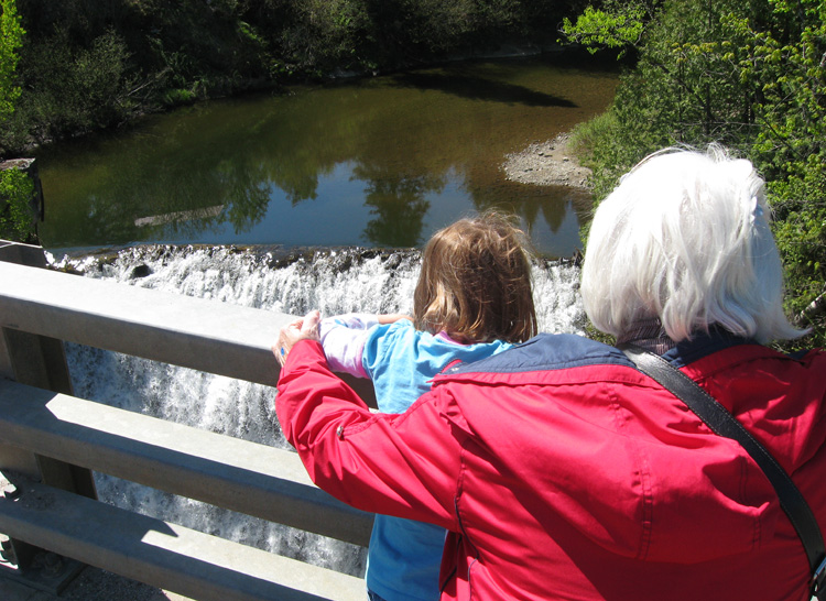
sam & grandma check it out also.
the view down from the other side of the bridge.
next: more driving »
menu earthcache: supper at suzanne & roland's place
|