Iceland: Day 10 - Hrísey
July 4, 2004
We realized that we would get to Dalvik, the point of departure of the ferry the next day, quite early, so we scoured our guidebook for another activity to finish off the day. We discovered another shorter ferry leaving every hour which would take us to Hrísey, an island renowned for its ptarmigan population and decided to give it a whirl.
Hrísey is the second largest island of the country, situated on the longest bay, Eyjafjörður. A small village is on its southernmost part and life there centres around fishing and fish processing. It is also home to the Icelandic National Quarantine Centre, established in 1974 so that stocks of Galloway cattle could be imported from Scotland. Marked hiking trails lead you around the island which is a bird sanctuary and one of the best places to see thousands of ptarmigan. With no natural predators on the island, the ptarmigan are relatively tame and can easily be spotted with their fluffy chicks in tow.
See The Birds of Hrísey to see pictures of the birds and to learn more about them.
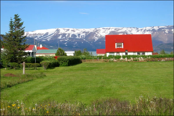
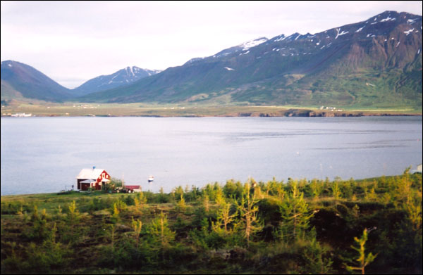
A house in Árskógssandur, the town where we caught the ferry to Hrísey.
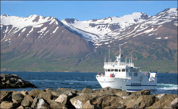
The arrival of the ferry to take us to Hrísey.
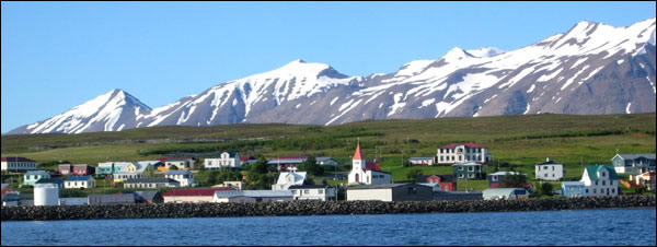
Our first glimpse of Hrísey village.
Many of the houses are covered with corrugated sheet metal as siding, painted in bright colours.
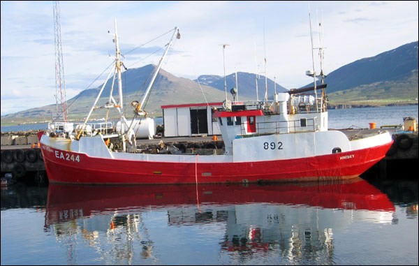
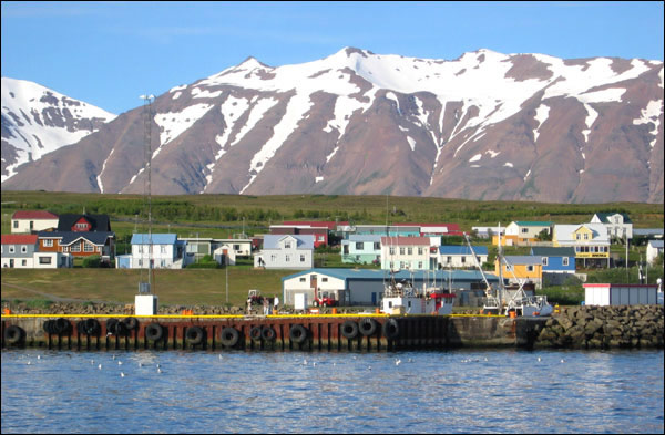
A boat at the wharf.
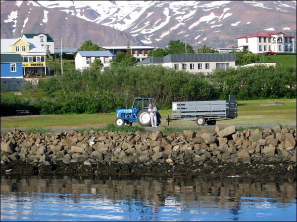
Some locals waiting at the shore to pick up their visitors from the ferry in a tractor.
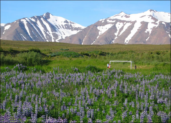
Amidst the lupines with a snowy mountain backdrop, the local kids enjoy Iceland's favourite sport soccer.
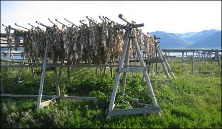
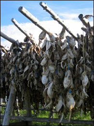
More fish drying racks.
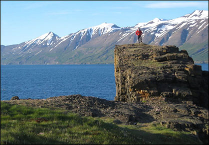
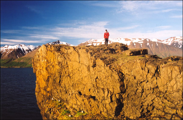
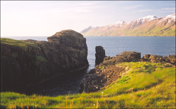
Both Rubby and a nesting seagull are enjoying Borgarbrík (Castle Rock). This is a basalt dike formed from magma solidifying slowly in underground fissures and thought to be linked to a volcano which was active about 9 million years ago. The basalt columns in dikes lie horizontally unlike in lava formations where they stand vertically.
The colours in the evening sun are spectacular.
Orkulindin - This spot is the location of the second most powerful energy source in Iceland. The rays of peace and love flow from the mountain Kaldbakur, that towers above on the eastern side of the fjord.

Rubby with a funny hiking sign (what is the woman wearing on her head?!) at Hvatastaðir, the site of an ancient deserted farm.
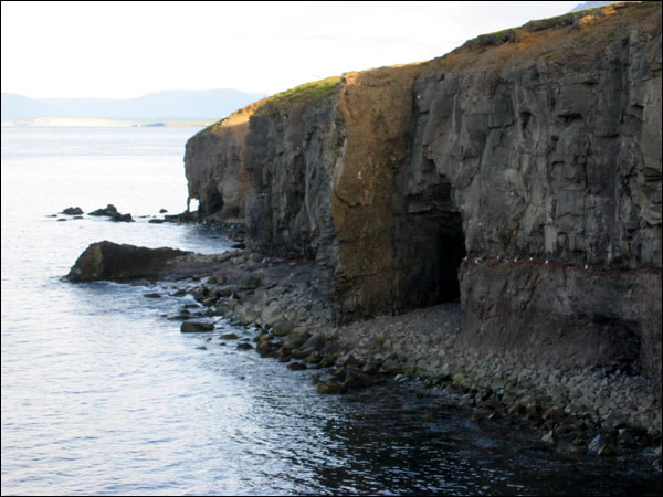
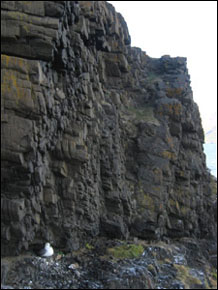
More dikes and interesting formations along the western eastern shore of Hrísey.
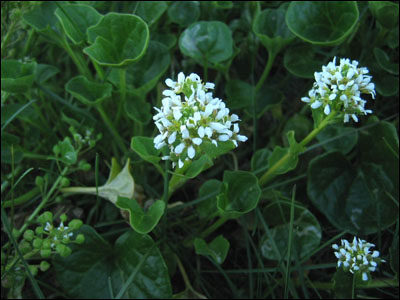
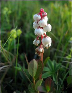
Common scurveygrass and common wintergreen.
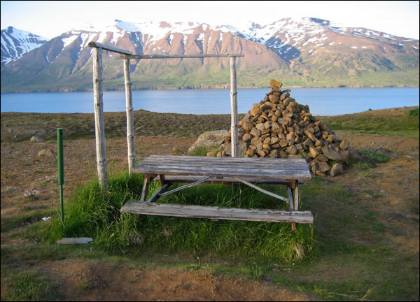
A little picnic spot. Notice the green metal tube with the hole at the top... that's for cigarettes, so ashes and butts don't get carried by the wind and start fires.
A fisherman heading home.
On the southern part of Hrísey you can see signs of the new "reforestation" efforts.
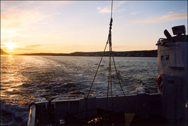
On the ferry leaving Hrísey.
[ Iceland Vacation Home Page ]