Iceland: Day 10 - Krafla & Viti
July 4, 2004
To the north-east of Mývatn, the area around the Krafla volcano has been intermittently erupting for the last three thousand years and shows no signs of cooling down yet. Krafla itself (818m) was last active in the 1720s during a period known as the Mývatn Fires, which began when the west side of Krafla exploded in 1724, forming a new crater named Viti (Hell).
To get to Krafla we pased right under the piping from Leirbotn power stations. By harnessing steam vents in the area it was hoped to achieve a 60 megawatt output, but - aside from construction of the plant coinciding with the eruptions further north - one of the boreholes exploded during drilling to form an artificial crater (jokingly known as Sjálfskapar Viti, "Homemade Hell"). For years the station ran at half capacity, though a new 20 megawatt bore opened in 1999 has put things back on track and you can hear and see this roaring away up on Krafla's flanks.
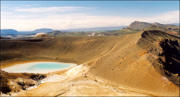
The road ended at the flooded crater Viti and we walked the path around its 320m wide rim.
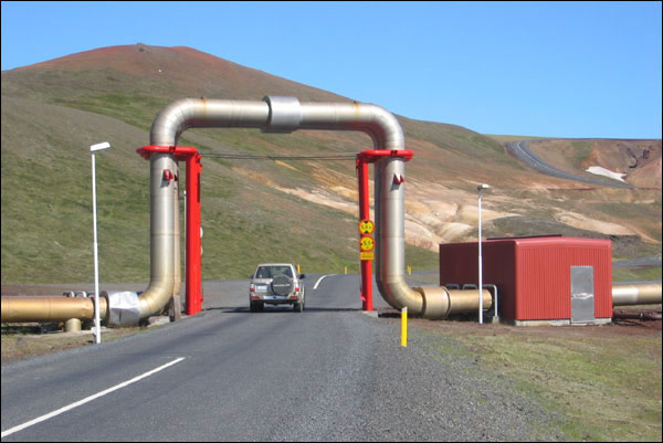
Driving under the piping from Leirbotn power stations.
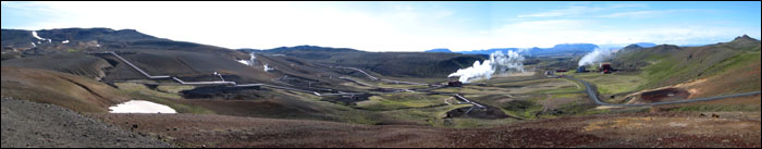
Panoramic view of the power stations from the rim of the Viti crater.

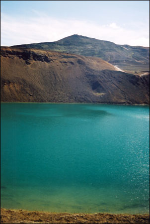
Sjálfskapar Viti ("Homemade Hell") crater in front of the Krafla volcano.
"Homemade Hell" (who knew that hell could be so pretty?!)
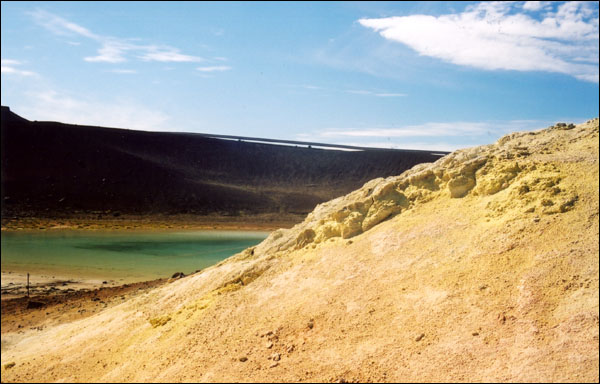
Colourful mineral deposits and the piping from the power station behind Homemade Hell.
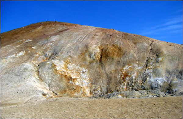
More colourful mineral deposits contrast against the blue sky.
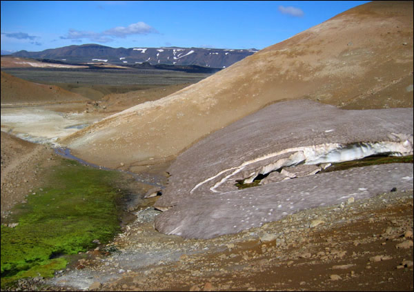
We didn't expect to find snow in the middle of this geothermal/volcanic area!
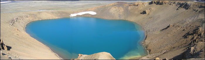
Panoramic view of the Viti crater.
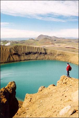
Rubby standing along the rim of Viti with Leirhnjúkur in the background.
View of the Krafla volcano across the waters of Viti.
[ Iceland Vacation Home Page ]